The geospatial technology of Lidar is still relatively unknown to many members of the general public, but it looks as if this is about to change, according to Wim van Wegen in this column. The automotive industry is making rapid advancements in the use of Lidar to support autonomous driving, for instance, so the term ‘Lidar’ may soon become as familiar as the likes of ‘radar’ or ‘sonar’. Lidar data offers endless possibilities, especially now there is a growing trend to make it publicly accessible.
The Current Dutch Elevation (Actueel Hoogtebestand Nederland/AHN) is a good example of this. Helicopters and aeroplanes fitted with Lidar technology are used to collect 3D height information. The result is a detailed digital elevation map providing insight into the height of every square metre of the Netherlands with 5cm ground-level accuracy. What makes this tool so special is that the Dutch government has fully – and unconditionally! – shared the AHN in the form of open data to encourage its reuse.
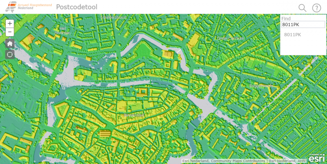
The dataset of the entire Netherlands encompasses over 1TB of data, which is a substantial amount to download. To make life easier for users, the country – and hence the dataset – has been divided up into approximately 1,100 rectangles covering 6.25km north-south x 5km east-west, each with a unique number. These so-called map sheets make it easier to download and handle the digital elevation data. Organizations such as municipal and provincial authorities, water boards and the Netherlands Directorate-General for Public Works and Water Management (Rijkswaterstaat) can already take full advantage of the detailed and precise height data the AHN offers for spatial planning.
I firmly believe that further democratizing access to Lidar topography in this way increases the impact of this data, enabling it to be used for a variety of other purposes, including research, education and commercial applications. Feel free to play around with the Current Dutch Elevation yourself: www.ahn.nl.