Spatial techniques and technologies continue to grow at an exponential rate, and they hold considerable potential for disruption. Survey-grade unmanned aerial systems (UASs or ‘drones’) are no exception. In view of the huge number of UAS manufacturers on the market, the profusion of options available can seem a little overwhelming. This guide sheds light on the top five specifications you should consider before purchasing a UAS.
(By Jonathan McCollin, University of the West Indies)
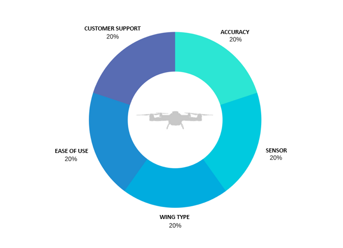
1. Accuracy
The type of survey required directly correlates to the recommended accuracy. Accuracies can be classified as either absolute or relative. Absolute (or global) accuracies refer to the degree to which a point on the map correlates to a fixed known point in a global coordinate space, whereas relative (or local) accuracies refer to the degree to which that same point correlates to other points of the same network. Large-scale projects require very small absolute accuracies, allowing these projects to be tied into a coordinate system for further analysis. For smaller projects, relative accuracy will be sufficient for the purpose of the output products. Utilising global positioning system (GPS) techniques to acquire the location of known ground control points (GCPs) will greatly increase both the relative and absolute accuracies of the project. Ensure that your software suite and/or plan allows the use of GCPs or that there is room for upgrading your plan if the situation arises.
2. Sensor
The majority of UASs on the market are equipped with a camera sensor. This onboard sensor has a direct impact on the quality of your output products such as digital elevation models (DEMs) and orthomosaics. Sensor-related factors to consider include:
Sensor Size
The larger the sensor, the better. Large sensors allow for improved resolution and consistent performance in any conditions.
Field of View (FOV)
A large field of view is extremely useful in photogrammetric methods, allowing for an increased overlap in the images and providing greater accuracy in the three-dimensional mapping process.
Upgradability
Different sensors allow for different solutions. For example, there has been an increase in the production of UAS-compatible Lidar sensors, providing the ability to acquire point clouds of areas in half the time of a terrestrial laser scanner. Upgradability allows for additional spatial techniques to be carried out to improve the mapping accuracy and quality of data visualisation.
3. Fixed Wings versus Multi-rotor
There are pros and cons associated with both UAS wing types. Fixed-wing UASs enable coverage of a larger area, offer longer endurance and facilitate a faster flight speed, but their drawbacks include the need for pilot training, high upfront expense and an excessive amount of space for take-off and landing. Multi-rotor systems cannot rival the flight times of fixed-wing UASs, but they do allow for good camera control, entail a low upfront investment and require little to no training to fly.
4. Ease of Use
The learning curve for both flying a UAS and processing the data can greatly affect the initial efficiency of your workflow, from flight to delivery of high-quality output products. Free trials are available of most UAS processing software packages; take the time to thoroughly explore their features, usability and potential performance before you buy. This will save you valuable time later on. Startups such as Pix4D, DroneDeploy and 3DR are a few notable suppliers of drone mapping software.
5. Customer Support
The peace of mind associated with good customer support is invaluable. To ensure a healthy return on investment and to minimise the risk of costly project delays, it is important to know that you can depend on adequate and timely support if you should encounter any problems during your UAS mapping experience.