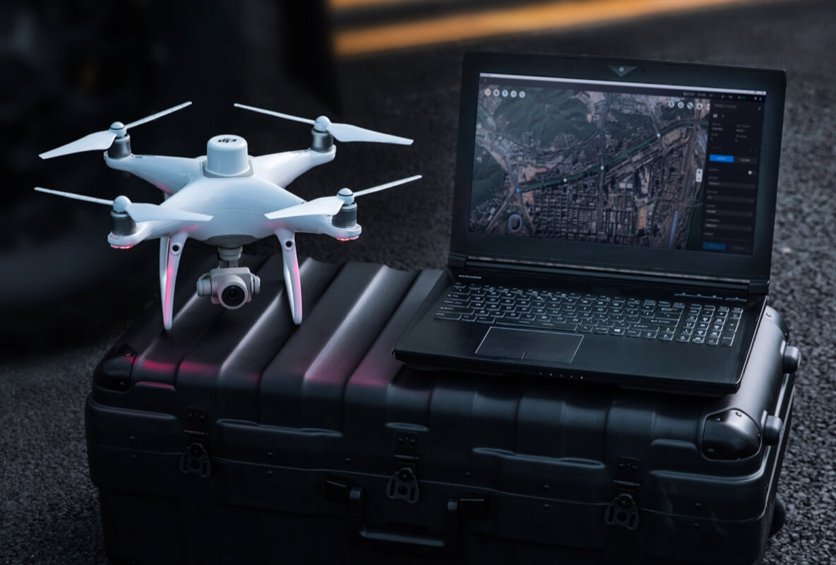
Why RTK Hardware Is Here to Stay
How accurate is accurate enough? If you’re like most land surveyors, the answer is “as m...

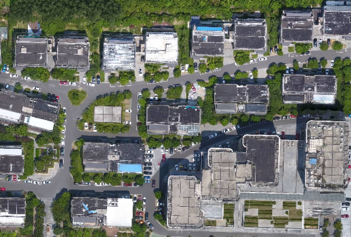
Land SurveyingDrone solutions collect accurate, geo-tagged data quickly, while photogrammetry software processes these data to deliver standardized outputs. |
 |
Urban PlanningDrone data creates accurate 2D and 3D models that integrate seamlessly with local geographic information systems, helping teams visualize results. Learn how drones streamline urban planning |
 |
Architecture, Engineering, and Construction (AEC)Drone-powered site surveys generate accurate data that informs construction projects from design to delivery. |
 |
Natural Resource ManagementDrones enable large-scale, detailed surveys of natural resources, providing accurate maps and models as well as telemetry data. |
 |

How accurate is accurate enough? If you’re like most land surveyors, the answer is “as m...

Surveyors and GIS professionals have the highest standards when it comes to their tools and trade. I...

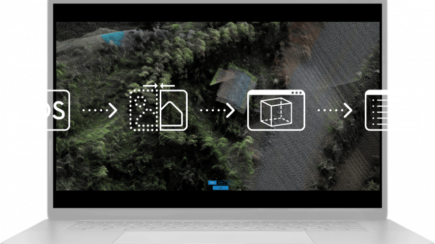
Drone surveying is a lot more complicated than snapping an aerial photograph or two and calling it a...

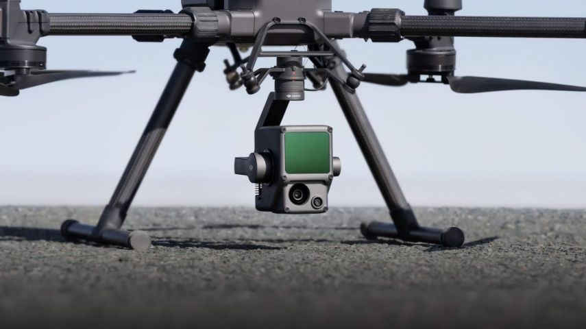
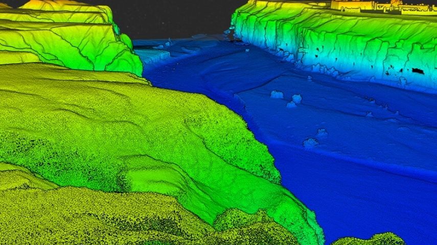
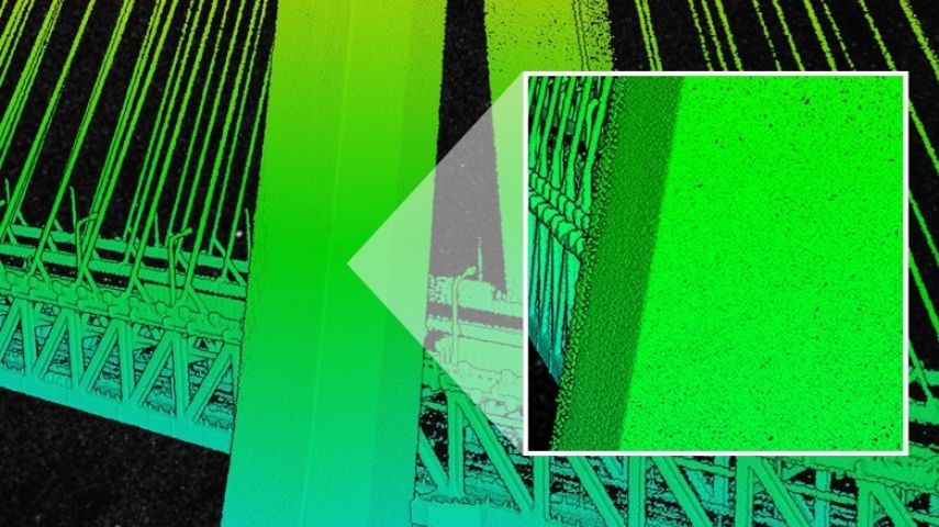
The Zenmuse L1 is the first Lidar payload developed by DJI, integrating a Livox Lidar module, a high...

With the 3D models generated from DJI Terra and P4 RTK, a Japanese city can now create digital twins...

The Zenmuse L1 integrates a Livox Lidar module, a high-accuracy IMU, and a camera with a 1-inch CMOS on a 3-axis stabilized gimbal. When used with Matrice 300 R...

Gather precise plant-level data using the P4 Multispectral – a high-precision drone with a seamlessly integrated multispectral imaging system built for agricult...

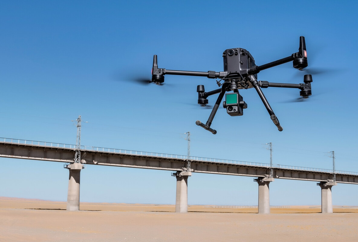
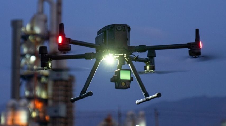
The Matrice 300 RTK is DJI’s latest commercial drone platform that takes inspiration from modern aviation systems. Offering up to 55 minutes of flight time, adv...

The New Benchmark for Aerial Surveying the Zenmuse P1 integrates a full-frame sensor with interchangeable fixed-focus lenses on a 3-axis stabilized gimbal. Desi...

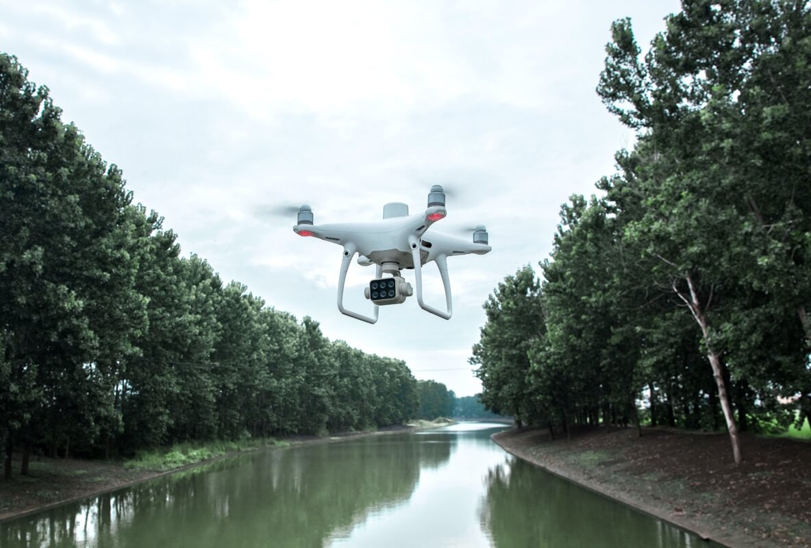
DJI has rethought its drone technology from the ground up, revolutionizing its systems to achieve a new standard for drone accuracy, offering Phantom 4 RTK cust...

Capture, analyse and visualize your environment with DJI Terra, an easy to use mapping software developed to help industry professionals transform real-world sc...

Powerful Flight Performance. A balance of power and portability delivers higher operational efficiency. Environmental Adaptability. Safe and Reliable. Redundanc...


This site uses cookies. By continuing to use this website, you agree to our Cookies Policy. Agree