Recorded Video Gexcel Webinar
Webinar on how to achieve fast volume computation of scrap stockpiles in order to get precise data a...


Gexcel is an Italian company that has been operating globally since 2007. Our mission is to develop cutting-edge technologies for 3D mapping and geospatial applications. In addition to developing and designing software and systems for 3D surveying, we offer sales, support, training, and service through our offices in Italy and Vietnam, as well as our extensive network of international distributors.
Gexcel software and systems seamlessly integrate with sensors from leading laser scanner manufacturers and are compatible with a wide range of software platforms. This ensures smooth collaboration and interoperability with popular industry tools.
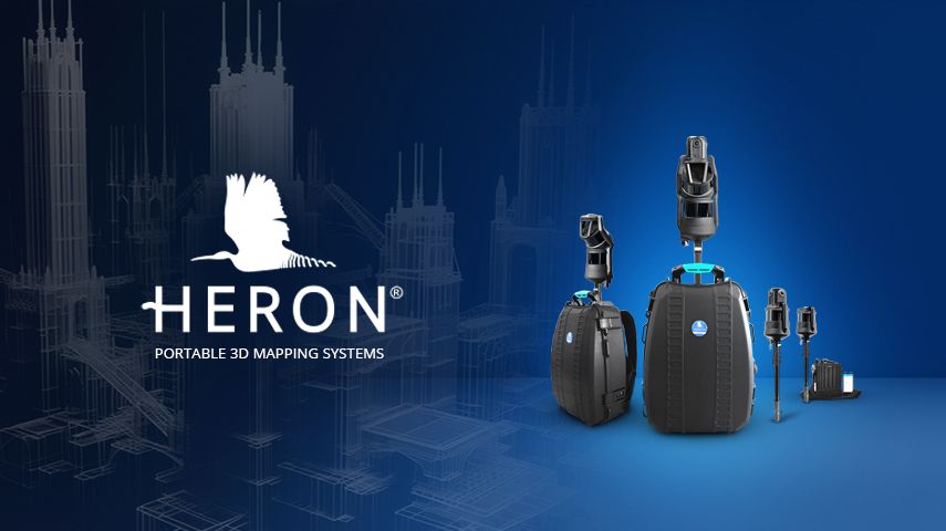
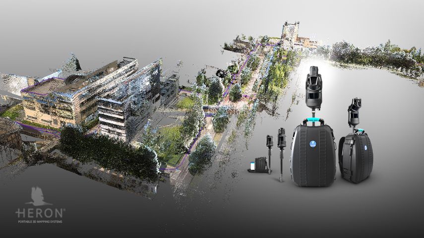
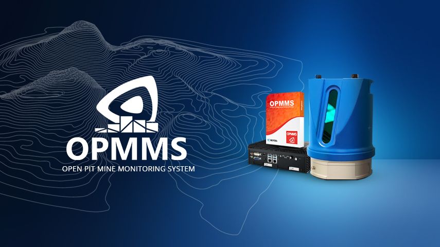
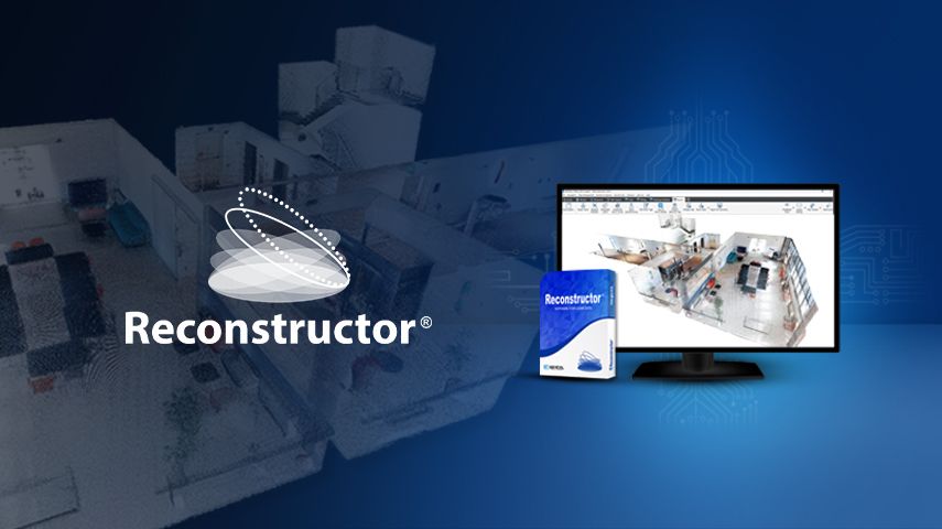
Our main products include HERON—Portable 3D Mapping Systems, RECONSTRUCTOR—LiDAR Data Processing Software, and OPMMS—Open Pit Mines Monitoring System.

Webinar on how to achieve fast volume computation of scrap stockpiles in order to get precise data a...

Gexcel confirms its leadership in indoor Mobile Mapping thanks to HERON® MS Twin, a device featu...

Find detailed technical information about the HERON MS TWIN Color and view brochures, videos and case studies and compare it with other similar products

Find detailed technical information about the HERON MS TWIN and view brochures, videos and case studies and compare it with other similar products

Find detailed technical information about the HERON LITE Color and view brochures, videos and case studies and compare it with other similar products

Find detailed technical information about the HERON Lite and view brochures, videos and case studies and compare it with other similar products

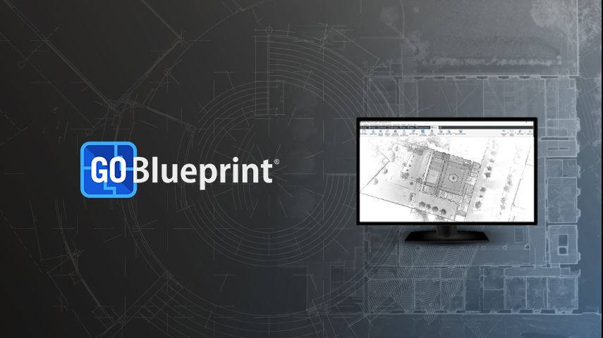
Find detailed technical information about the Reconstructor and view brochures, videos and case studies and compare it with other similar products

Find detailed technical information about the OPMMS - Open Pit Mine Monitoring System and view brochures, videos and case studies and compare it with other simi...
This site uses cookies. By continuing to use this website, you agree to our Cookies Policy. Agree