N3
Geo-matching connects buyers and suppliers of geospatial software and equipment. Simplify your search, compare specs, and unlock key industry insights with our...

SOUTH, the leading Chinese brand in the Geo-information industry, provides comprehensive international geographic solutions and has cultivated a robust reputation over the past 35 years. SOUTH products cover a series of applications, including GNSS, marine surveying, conventional construction surveying, remote sensing, monitoring solutions, VR survey training, precision agriculture, rail engineering, tunnel engineering, GIS, etc. We have more than 130 provincial and municipal branches and overseas sales agencies. Our equipment is working with users in more than 100 countries and regions.
SOUTH is always devoted to bringing productivity and convenience to global surveyors.
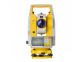
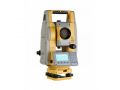
NS10, the robotic total station, can automatically search for prism thus just one person would finish the surveying or stakeout mission.
INNO8, the visual RTK, can achieve AR stakeout, visual positioning and 3D modeling, allowing one RTK for multiple applications.
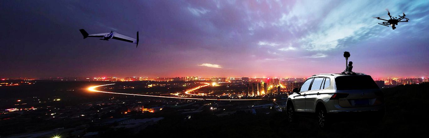
RobotSLAM, the handheld 3D laser scanner, can scan and obtain point clouds through walking and support multiple carrying platforms including backpacks, AI robot dogs, cars, USVs and UAVs.
USV solution can load with echo sounder, ADCP, MBES etc. for hydrographic and marine survey.
SMOS, with huge experiences of automatic monitoring, apply to smart city, construction safety monitoring, site workers safety monitoring, hydrology, land subcidence etc.
For each product or application, we have the professional team that can handle a series of training and technical support. We welcome you to join us and together we make a better world with Geo-information.

Learn more about Monitoring SMOS→

Geo-matching connects buyers and suppliers of geospatial software and equipment. Simplify your search, compare specs, and unlock key industry insights with our...

Find detailed technical information about the N6 and view brochures, videos and case studies and compare it with other similar products

Standard 1km deviation 0.5mm with micrometer. Worldwide-proven magnetic damping compensator. Ultra clear lens for long range observation

Find detailed technical information about the GALAXY G6 (IMU) and view brochures, videos and case studies and compare it with other similar products

Find detailed technical information about the New Galaxy G1 and view brochures, videos and case studies and compare it with other similar products

FLYme is specifically made for professional aerial mapping. precise aerial positioning & waypoint navigation; ultrahigh resolution 42 mpx imaging sensor; precis...

Find detailed technical information about the PPK Aeropos Software SkyLines and view brochures, videos and case studies and compare it with other similar produc...
This site uses cookies. By continuing to use this website, you agree to our Cookies Policy. Agree