20 Years of Handling Indian Earth Observation Satellite Data in Neustrelitz
This year marks the 20th anniversary of signing an agreement with Antrix, the commercial arm of the Indian Space Research Organisation (ISRO), to receive and distribute Indian EO satellite data on an exclusive basis for European customers. As a consequence of this contract, GAF also entered into a long-term cooperation and service agreement with the German Aerospace Center (DLR) regarding the provision, by the latter, of downlink capabilities at its ground station in Neustrelitz, Germany.
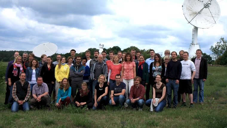
In order to handle the archiving and distribution of the data, GAF formed the wholly-owned subsidiary Euromap and based it at the DLR campus in Neustrelitz. This has resulted in 20 years of close cooperation with DLR and an important presence at Neustrelitz, consisting of a permanent staff that currently numbers 25 scientists and technicians. Euromap has now become a GAF branch, with offices on the DLR campus and in central Neustrelitz.
The creation of this business, which was a strategically important venture that was also initially associated with risks, has not only created a true European outreach but has also fostered links between GAF and DLR, and has had a tremendous positive impact on the economic development of GAF.
Six Satellite Missions
In the field of EO data distribution, GAF can be regarded as Antrix’s only continuously active international partner for the last 20 years. So far, the partnership includes six satellite missions, and thanks to both the ambitious Indian EO programme and the common understanding reached between Antrix and GAF, the partnership is set to be expanded further.
During the last 20 years, GAF has acquired and archived more than 1.4 million image scenes covering almost 40 billion square kilometres with medium, high or very-high resolution raw IRS optical satellite data. GAF has provided data products and related services to, for example, the Joint Research Center (JRC) of the European Commission and the European Space Agency (ESA) for the Copernicus programme, and has developed the Euro-Maps 3D Digital Surface Model (DSM) product with 5m post spacing.

Value staying current with geomatics?
Stay on the map with our expertly curated newsletters.
We provide educational insights, industry updates, and inspiring stories to help you learn, grow, and reach your full potential in your field. Don't miss out - subscribe today and ensure you're always informed, educated, and inspired.
Choose your newsletter(s)


