3D Laser Mapping Puts Extra Focus on African Mining Market
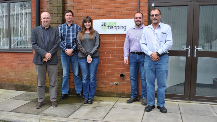
3D Laser Mapping, a leading geospatial technology specialist, has announced two appointments ahead of its new product launch in the African mining and minerals division. The new additions also follow a period of strong sales in the mining market with the company’s automated monitoring system, SiteMonitor4D.
Roberto Vargas has been appointed regional business development manager for Africa, taking up an integral role in nurturing new business relationships across the continent. He joins the company with over 13 years of experience across the mining and natural resources sector for Modular Mining and Trafigura Mining Group.
Also joining the growing team is Lidar systems engineer, Elanie Joubert. She will assist in supporting technical operations in the African market, having previously worked as a GIS technician at South African consulting firm I @ Consulting.
Mining industry
As Dr Graham Hunter, executive chairman at 3D Laser Mapping explains, the new appointments reflect an upswing in fortunes in the African mining market. The arrival of Roberto Vargas and Elanie Joubert comes at a time of great momentum at 3D Laser Mapping. The company’s monitoring products are helping to provide automated business intelligence for many different industries, as well as increasing site safety records at mining sites across the world, he stated.
Paving the way for the new product launch, SiteMonitor Live offers the ability to create real-time terrain models from multiple scanners, which will be particularly valuable for stockpile measurements and open pit mines.
The appointments are also well timed with stories of a resurgence within the African mining industry, including Rio Tinto’s reports of a return to profit after increases in its energy and minerals divisions, Hunter thinks. The new team members will allow us to widen the reach of SiteMonitor and our universal mobile mapping system, ROBIN, which are suitable for a wider variety of applications than mining alone.
3D Laser Mapping was formed in 1999 and provides specialist laser scanning solutions to help some of the world’s biggest mining companies, surveyors and contractors to capture and analyse their environment in 3D.
For more details on 3D Laser Mapping and SiteMonitor4D, see here.

Value staying current with geomatics?
Stay on the map with our expertly curated newsletters.
We provide educational insights, industry updates, and inspiring stories to help you learn, grow, and reach your full potential in your field. Don't miss out - subscribe today and ensure you're always informed, educated, and inspired.
Choose your newsletter(s)


