3D Scanning to Enable Sub-sea Connections
Fast, Accurate Surveying of Underwater Tunnels in Norway
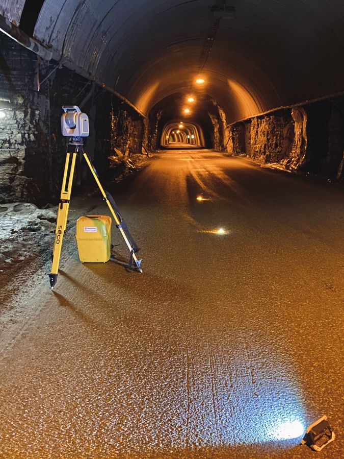
A Norwegian civil engineering construction company is using 3D scanning to survey two critical underwater road tunnels. Mesta AS has opted for a Trimble SX12 scanning total station to benefit from the high accuracy of total station point measurements combined with the speed and precision of 3D scanning.
The Norwegian Ministry of Transport is currently facilitating a NOK 211 million (approx. €21 million) project to renovate the Maursund and Kågen Tunnels – two critical underwater road tunnels that connect the city of Nordreisa on the mainland to Skjervøy on Kågen Island.
Both tunnels were built in 1991 and are about 2km long. The Maursund Tunnel runs under the Maursundet Strait to connect the mainland part of the municipality of Nordreisa with the island of Kågen in Skjervøy. It reaches a depth of 92.5m (303ft) below sea level and some sections of the tunnel have a 10% gradient. The Kågen Tunnel passes through the Kågen mountain, which is vulnerable to avalanches and landslides. The renovation project includes extensive upgrades to each tunnel, including the widening of the carriageways as well as installing new LED lighting, CO/NO2 gas meters, new water and frost protection and new drainage systems, plus paving new road surfaces.
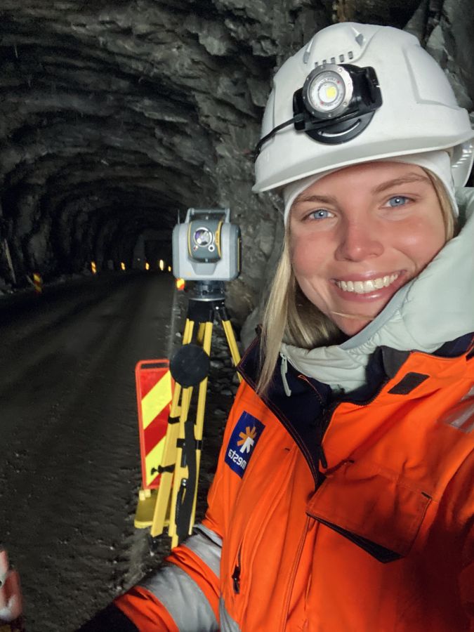
Mesta AS, a civil engineering construction company based in Lysaker, Norway, is tasked with managing all the construction crews’ survey needs. Sylvia De Vuyst, a professional surveyor at Mesta AS, is responsible for handling the project surveying scope, which includes managing the geodetic control network.
Ideal for underground surveys
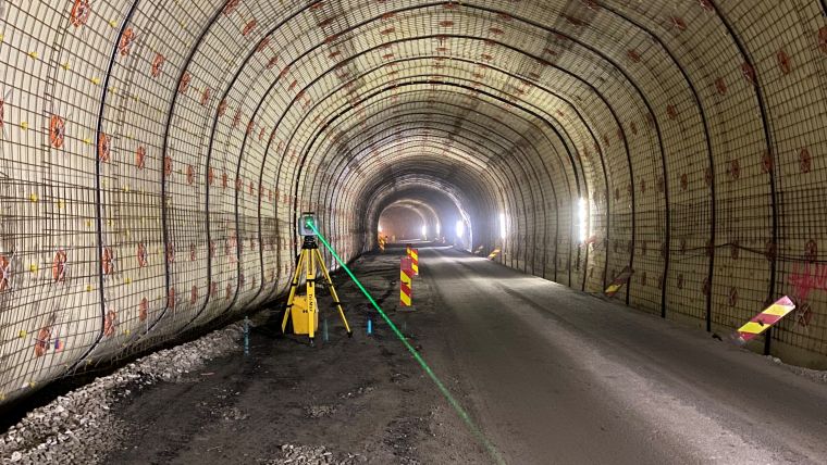
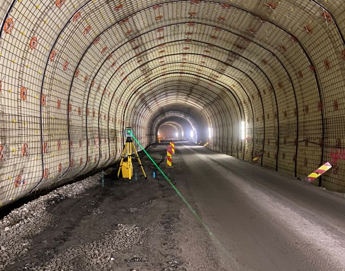
De Vuyst realized immediately after the first site visit that traditional survey tools such as conventional total stations would not work due to several challenges, including low light visibility in a GNSS-restricted environment and the need to measure long linear underground distances with high accuracy. Moreover, the Maursund Tunnel needed to remain open for traffic 24/7, which called for considerable flexibility from the entire team of surveyors and contractors alike. De Vuyst therefore decided that instead of using a traditional total station for setting geodetic control, measuring material volumes, marking ventilation bolts and more, she needed something else out of her technology toolbox. She opted to use a Trimble SX12 scanning total station, which combines the high accuracy of total station point measurements with the speed and precision of 3D scanning. According to De Vuyst, the total station and scanner combination is particularly well-suited for underground survey projects like tunnels from start to finish.
Reliable reference points
At any given time, there are multiple teams of upwards of 50 people working in the Maursund Tunnel. De Vuyst is responsible for providing consistent and reliable reference points and as-built versus design-intent comparisons. Using the instrument’s robotic total station, she established ground control fixed prisms at 80m intervals along the tunnel walls, which allowed for a control network accuracy of 0.005m. She then used the scanning total station to establish and measure metre lines (the horizontal lines that are sprayed every 10m) to indicate the 1m mark above the road surface. “The existing road has steep gradients descending down around 80m and it curves, so it isn’t a reliable reference,” says De Vuyst. “We know the elevation and design of the new road so I can use that theoretical data and the SX12 to measure and set out the metre line. That data gives crews a physical position in the tunnel and it provides a marker to follow for determining their own work, such as laying cables or installing reinforcing materials on the walls.”
Calculating earthwork volumes
One of De Vuyst’s primary jobs during the blasting and digging operations inside the tunnel is to calculate volumes to ensure that sufficient material is removed to expand the road and hard shoulders in line with the plans (i.e. to create a 6m-wide carriageway with a 1.2m hard shoulder on each side and a clear height of 4.6m). To support the effort, she developed a 3D tunnel design in Trimble Business Center (TBC) that she imported into Trimble Access (TA) Tunnels software and saved as a master file on a Trimble TSC7 controller. Based on the tunnel shape model, she combined survey controls with the scanned model to create a tunnel profile drawing that can be used to calculate and verify earthwork volumes.
Once a section has been blasted or dug out, De Vuyst captures a full-dome scan, creating a georeferenced point cloud of an area – typically 60m. She integrates that data into TBC and the software’s specialized tunnel module classification tool to automatically clean and process the data to create a tunnel shape – a process that takes three minutes per scan. Now, she can check the earthwork progress at any time by positioning the SX12, measuring any point and immediately identifying any underbreak in relation to the driving box perimeter visible on the controller’s graphical interface. De Vuyst explains: “Without the automatic classification tool in Trimble Business Center, I’d have to manually select each bit of noise and delete it. That feature, along with the automatically georeferenced scans, saves me hours of processing time.”
Once the comparison is complete, the operators use the updated drawing prints in their cabs to guide digging and blasting. De Vuyst has also been creating 3D ‘profile prints’ – drawing files that provide the tunnel shape, tunnel bottom, driving box and a numbered position marker for tunnel orientation to help the entire team monitor the progress. In addition to checking and calculating volumes, De Vuyst has had to set and check around 170 prisms and reinforcement, lighting and signage bolts. “The clarity, precision and range of the SX12’s green laser makes the task much easier,” she comments. “Even at 100 metres away, points are crystal clear.”
Easier data management
One of the major pain points in today’s technology-enabled operations is managing large volumes of data, particularly the billions of data points produced by 3D laser scanners, for construction verification and reporting purposes. Sifting through the unwanted data such as machinery, duct work and operators and aligning the scan data to the tunnel design is often tedious and costly. The SX12’s workflow is designed to simplify much of the data processing. The generated scan data is automatically georeferenced to the survey control backsight or resection setup measurements, eliminating the need for time-intensive point cloud registration and processing. Meanwhile, tools in TBC Tunneling automatically remove unwanted data, thus saving technicians considerable time in the office. Additionally, the solution enables surveyors to automatically generate detailed as-built reports verifying the tunnel’s as-built position and over/underbreak values. In shotcrete and excavation quality control, the scanning data can be used to generate customizable heat map reports to verify thickness, undulation and conformity to the design. Another benefit is the ability to collect, analyse and report on total station convergence measurements, reducing the need for multiple software packages or managing and monitoring data in cluttered spreadsheets.
The SX12’s high-resolution imagery capture combined with laser scanning capabilities allows surveyors to quickly collect data in the tunnel’s high-traffic areas from a safe distance. De Vuyst concludes: “All in all, the SX12 has a significant impact on efficiency and safety on the project as it reduces setup and scan time. It can even be used in live traffic situations as the software allows me to filter out from the point cloud the noise generated by moving traffic.” Once the tunnel is in operation, the structural integrity and assets will be collected to provide data for informed maintenance decision-making.

Value staying current with geomatics?
Stay on the map with our expertly curated newsletters.
We provide educational insights, industry updates, and inspiring stories to help you learn, grow, and reach your full potential in your field. Don't miss out - subscribe today and ensure you're always informed, educated, and inspired.
Choose your newsletter(s)


