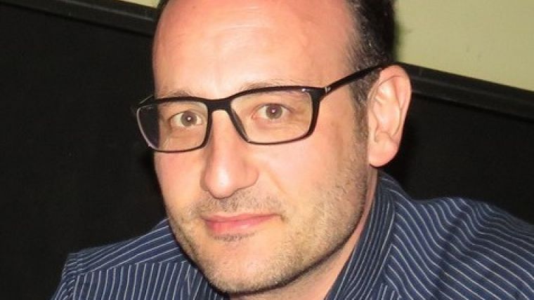
5 Questions to…Fabio Remondino
We took the opportunity to ask Fabio Remondino five questions. He will be chairing the session EuroSDR: Innovative technologies and methodologies for NMCAs at the ISPRS Congress in Prague, Czech Republic.
Members of the remote sensing and photogrammetry community are gathering in Prague this year for the ISPRS Congress. Which highlights are you most looking forward to? I believe the Congress will highlight the latest developments and products at hardware, software and processing level. According to the submitted papers, I foresee presentations related to methodological and computational aspects of modelling and analysis in photogrammetry and remote sensing. I am particularly looking forward to presentations about sensor characterisation and modelling, automated orientation, dense matching, point cloud segmentation and land classification. I believe the congress will nicely summarise the state of the art and current trends in remote sensing, photogrammetry, computer vision and image analysis.
I’m also looking forward to the changes in the Technical Commissions structure, with the restructuring to five commissions and the creation of all new Working Groups. This is a fundamental in keeping the good momentum of ISPRS and therefore I wish all new Technical Commission presidents much luck.
How are you involved in this edition of the congress? As president of Technical Commission V for the past 4 years, I was responsible, together with the local organisers in Prague and the members of the international programme committee, for the Commission papers submissions, reviewing and acceptance process. Moreover, I liaised with CIPA and EuroSDR to have their Special Sessions organised at the Congress. Interdisciplinarity and openness to the other sister societies and communities are fundamental for better advances in R&D.
What are the most exciting trends in your own areas of expertise, namely reality-based surveying and 3D modelling? On the one hand, we have recently witnessed a continuous production of sensors for data collection and algorithms for data-processing and visualisation and, on the other hand, a democratisation of 3D modelling, particularly due to more affordable active range sensors and to the large automation within image-based approaches. This had led to exciting products and solutions (including, among others, RGB-sensors, oblique aerial systems, mobile 3D tools, BIM, etc.) and to an abundance of 3D data, often shared and accessible online inside webGIS or repositories solutions.
If this were an elevator pitch, how would you promote EuroSDR? EuroSDR is a non-profit European organisation that brings together mapping / cadastre agencies & academia for the purpose of applied research methods, systems and standards for the acquisition, processing, production, maintenance, storing and dissemination of core geospatial data and information. This allows agencies to play their role as content providers and to rise problems from the production units that are solved with researchers in a collaborative mode. With this close and institutional collaboration between practice and research, EuroSDR is unique. The research activities of EuroSDR are carried out through projects and workshops. This is executed by EuroSDR alone or in collaboration with other organisations and companies. EuroSDR is thus a recognised provider of research-based knowledge to a Europe where citizens can readily benefit from geographic information.
As a member of the EuroSDR executive management team, what is your specific role within the organisation? The research of EuroSDR covers the whole geoinformation management cycle, ranging from the raw data acquisition to the end-user of this information. EuroSDR is divided in six Commissions that serve as a catalyst between the research projects and the EuroSDR network. I was appointed as chairman of Commissions I in 2013. EuroSDR Commission I wants to explore, test and validate platforms, sensors and algorithms to acquire geo-spatial data, with emphasis on accuracy, reliability and standardisation of data-processing procedures. Commission I is actually running two research activities on oblique aerial camera systems and on high-resolution satellite for mapping purposes. Other activities run in the past include UAV platforms for mapping purposes, digital airborne camera calibration, investigation on medium format cameras, radiometric aspects of digital photogrammetric images, etc.
Fabio Remondino is senior researcher and head of the research unit at the Bruno Kessler Foundation (FBK) of Trento (Italy), a public research centre that strives for scientific excellence, innovation and technology transfer in the fields of advanced computer science, geospatial technologies, microelectronics, physics and human sciences.

Value staying current with geomatics?
Stay on the map with our expertly curated newsletters.
We provide educational insights, industry updates, and inspiring stories to help you learn, grow, and reach your full potential in your field. Don't miss out - subscribe today and ensure you're always informed, educated, and inspired.
Choose your newsletter(s)


