Acuity Technologies Introduces New Lidar System
Acuity Technologies has launched the AL-500 Lidar, a compact omnidirectional scanning range and image acquisition system. It features measurement up to 150 metres in full sunlight with an optional 300 metre capability, and sample rates up to 800,000 points per second.
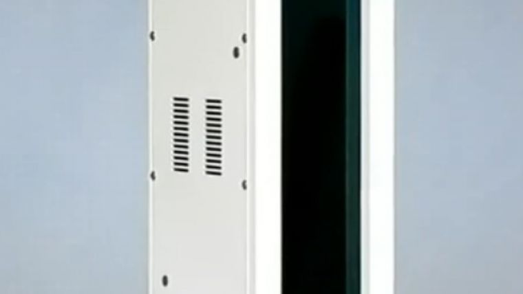
The AL-500 is available in configurations for terrestrial scan acquisition, for real-time industrial and continuous process control in fixed installations, and for mobile land and airborne applications. An available battery pack attaches to the bottom of the Lidar and provides up to 8 hours of field operation. IP67 sealing with dry nitrogen fill is standard, and an optional air cooled version can be used in ambient temperatures above 85 C. A two axis inclinometer facilitates easy setup and multiscan registration. The AL-500 is 83mm by 312mm by 133mm, weighs 4.3kg and is a Class I laser product.
The point capture density is fully configurable up to 6,667 by 40,000 equally spaced points in a field of view of 120 by 360 degrees. Scanning is a combination of fast vertical scans at up to 360 lines per second and a variable azimuth sweep rate of up to 10 revolutions per second. High-speed scanning can capture 10 million points in 25 seconds, and the high resolution mode has 1mm measurement resolution.
A special aspect of the AL-500 is the acquisition of monochrome images simultaneously with range data. Since the scene brightness is captured point by point along with distance, no registration of the image is required and no mismatch occurs in dynamic scenes or mobile applications.
Data collection and visualisation
The scanner is controlled with Acuity's PointWorks interface for scan collection and visualisation. Interactive configuration and in-capture scan display let the user define the field of view, point density, and other scan parameters on a Windows notepad or computer connected via a 100Mb ethernet link. Default scan configurations demonstrate the capabilities of the AL-500 and allow users to start collecting useful data immediately. Point clouds may exported in several standard formats.
PointWorks is built on the Acuity Scanning Application Programming Interface, and source code for the API is included with the AL-500 to speed development of scanning application software. The API can be used to control all aspects of AL-500 operation, and includes features such as buffered sequential scanning, real-time calibration, and variable short-range airborne particulate rejection. Support for application software development is also available from Acuity.
Acuity Technologies has been developing laser measurement and scanning systems for industrial and defence applications since 1993. With markets for Lidar in autonomous navigation and commercial scene and structure capture rapidly expanding, Acuity is now focused on producing simple yet flexible 3D data acquisition systems for field use as well as industrial processes and autonomous vehicles.

Value staying current with geomatics?
Stay on the map with our expertly curated newsletters.
We provide educational insights, industry updates, and inspiring stories to help you learn, grow, and reach your full potential in your field. Don't miss out - subscribe today and ensure you're always informed, educated, and inspired.
Choose your newsletter(s)


