Advancement in Remote Sensing Technology Enhances Large-scale Forest Health Assessment
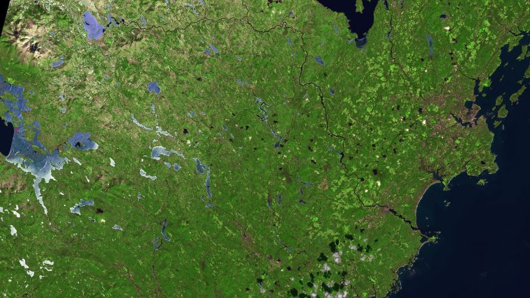
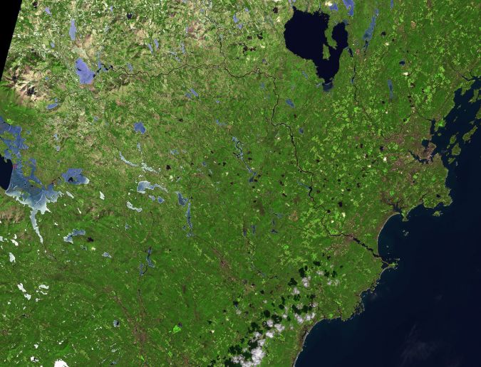
State-of-the-art geospatial data collection and modelling to assess, monitor and forecast the quality, health and value of local forestlands is the focus of a new NASA-funded project led by the University of Maine, USA. The research team will use remote sensing technology to develop comprehensive models with more detailed, accurate, higher-resolution and near-real-time data on forest-tree species identification, and forest-tree decline detection and damage assessment.
The three-year project, funded by a nearly US$750,000 NASA grant, is led by Parinaz Rahimzadeh, assistant professor of remote sensing of natural resources in the University of Maine (UMaine) School of Forest Resources.
Ultimately, the remote sensing framework for geospatial data collection and modelling will provide information on forest composition as well as damage caused by recent pest and pathogen outbreaks, such as spruce budworm, emerald ash borer and Caliciopsis pine canker.
Remote sensing revolution
“Advances in remote sensing technology are revolutionizing the way in which forests are continually measured and monitored,” Rahimzadeh says. This project will connect remote sensing information, such as NASA air- and space-borne hyperspectral and multi-spectral data, with traditional and ground-based data to address immediate needs for precise pest and pathogen control and early intervention, as well as preservation of economic, ecological and cultural assets of forest resources.
The Northeast, the most heavily forested part of the United States, faces numerous challenges: natural disturbances, such as fires, insect outbreaks, ice storms and windthrow; and human-induced, including changing ownership patterns, altered forest harvesting practices, increased developmental pressures, evolving forest regulatory policies and climate change. “Given the number and complexities of the various factors currently influencing Maine’s forests, there is a strong need to better assess and monitor this valuable resource in order to best prepare managers and policymakers for various possible futures,” says Rahimzadeh.
Other members of the research team include UMaine faculty Aaron Weiskittel, Center for Research on Sustainable Forests; Daniel Hayes, School of Forest Resources; and Wilhelm Friess, Department of Mechanical Engineering. They are joined by Peter Nelson of the University of Maine at Fort Kent, and U.S. Forest Service and NASA scientists.
The project, which aligns with the University of Maine System Research and Development Plan, will involve undergraduate and graduate student researchers. It also will support targeted engagement with key stakeholders in Maine, such as the forest products industry and conservation organizations.

Value staying current with geomatics?
Stay on the map with our expertly curated newsletters.
We provide educational insights, industry updates, and inspiring stories to help you learn, grow, and reach your full potential in your field. Don't miss out - subscribe today and ensure you're always informed, educated, and inspired.
Choose your newsletter(s)


