Aerial Photographs and GIS Help British Farmers
Aerial photographs from Bluesky, UK, are helping farmers and rural estate managers gain a greater understanding of the environment in which they work. Working with Pear Technology, a developer and supplier of land and crop management software, Bluesky has supplied aerial photographs to enhance the overall digital mapping experience. The map-accurate images provide a backdrop for Ordnance Survey mapping offering clear, up-to-date and useable contextual detail for a range of rural applications.
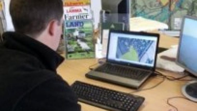
The high-resolution aerial imagery from Bluesky is being used within PT Mapper, a desktop Geographical Information Systems package specifically designed for farming applications. PT Mapper facilitates the measurement of areas and distances at a glance. It enables the preparation of any type of management or record map including, Land Registry, maintenance and waste management, soil management, ELS and HLS plans, utilities and tenancy plans. Using PT Mappers farmers can also show cropping plans, show and measure field margins, print whole maps or part maps, at any scale.
Tim Hopkin of Pear Technology commented that customers tend to be non-IT specialists. They understand the land and what they must do to it to earn a living but may struggle with some of the bureaucratic demands placed on them. The combination of Bluesky’s aerial photography with Pear Technology’s desktop mapping solutions makes the production of management reports, KPI returns and supporting maps much easier.
Initial reports from Pear Technology’s customers indicate that the Bluesky images are proving especially useful for project and asset management. They are also delivering returns in the preparation of grant applications, research and site analysis, Hopkin added.
The aerial photographs supplied by Bluesky are taken from the off-the-shelf archive which covers the whole of England, Scotland and Wales. Continuously updated on a five-year rolling data-capture programme, the high-resolution digital images are available in a range of formats suitable for use in desktop mapping, GIS and CAD software packages.

Value staying current with geomatics?
Stay on the map with our expertly curated newsletters.
We provide educational insights, industry updates, and inspiring stories to help you learn, grow, and reach your full potential in your field. Don't miss out - subscribe today and ensure you're always informed, educated, and inspired.
Choose your newsletter(s)


