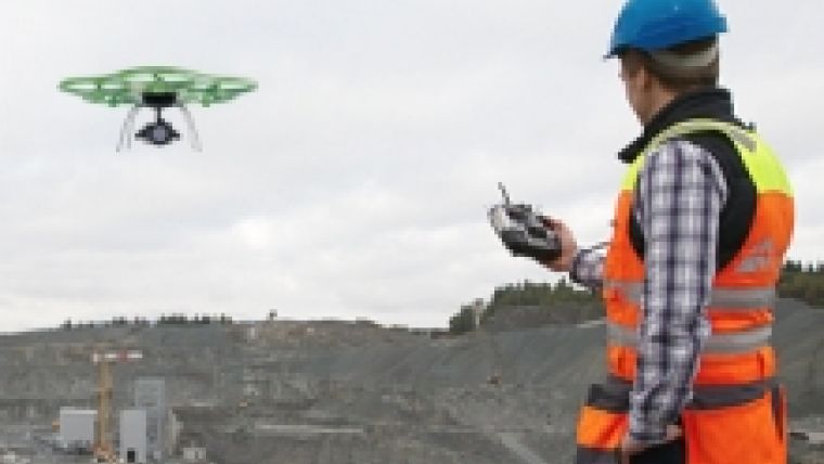
AibotX6 Version 2 with High-precision GNSS
Ahead of this year’s Intergeo in Stuttgart, Aibotix (Germany) presented High Precision GNSS as a solution for high-precision surveying with Version 2 of its hexacopter AibotX6. The release of the system, which can also be installed in existing AibotX6 hexacopters as Version 2, was announced at this year’s HxGN Live in Las Vegas and will be available as a serial product following the completion of all field trials.
The precision and quality of the surveying data can be improved by using RTK technology on the basis of the SmartNet (Leica Geosystems AG) correction data service. Post-processing is also a possible alternative. This potentially saves users time and offers them more scope for adapting their activities to a specific operational situation.
New Technology Meets a Proven Solution
Care was taken to ensure that the system could be superimposed on proven existing solutions. Besides allowing the use of existing surveying hexacopters, this meant the continuing generation and processing of data with the fully integrated software Aibotix AiProFlight. Only an update is required to enable the software to be used in conjunction with the new HP GNSS for the AibotX6, although the significant time reduction in comparison with conventional UAV surveying represents the greatest benefit for customers.

Value staying current with geomatics?
Stay on the map with our expertly curated newsletters.
We provide educational insights, industry updates, and inspiring stories to help you learn, grow, and reach your full potential in your field. Don't miss out - subscribe today and ensure you're always informed, educated, and inspired.
Choose your newsletter(s)


