Airborne Lidar Survey to Help Find Lost Village
Aerial mapping company Bluesky is to use Lidar to produce a highly detailed 3D map of the National Trust's Wallington Estate in Northumberland, England. The survey will bring to life the hidden archaeology of the site, revealing more of the area’s medieval past including – it is hoped – the 'lost village' of Wallington. The data will also be used to help manage important environmental restoration projects.
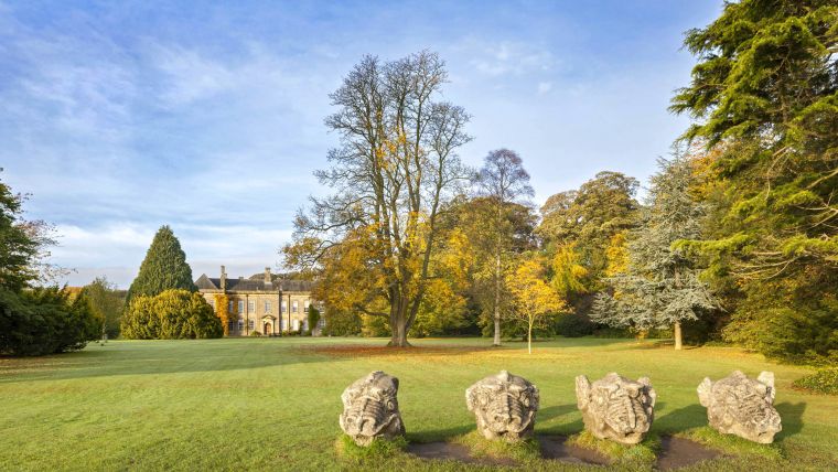
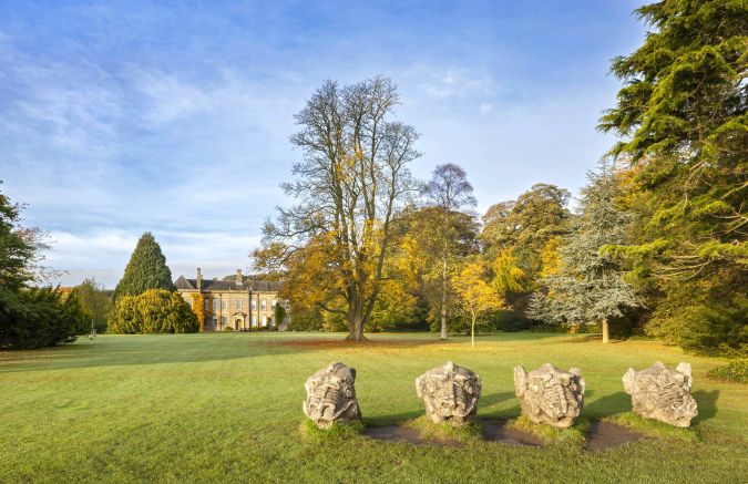
At 13,500 acres, Wallington is the largest estate in the care of the National Trust and until now no large-scale archaeological investigations have been carried out. “There is currently no base-line archaeological survey of Wallington as the estate was simply too big to undertake one,” commented Paul Hewitt, countryside manager for the National Trust at Wallington. “As a result of recent funding, we are now in a position to work with Bluesky to complete a detailed survey which will be the biggest Lidar survey the National Trust has ever commissioned."
“In addition to the archaeological investigation which we hope will reveal some previously undiscovered finds, we plan to use the Lidar data to inform new hedgerow and tree planting and the restoration of waterways to support habitat and species restoration.”
Wallington is located 20 kilometres to the west of Morpeth in Northumberland. Donated to the National Trust by Sir Charles Philips Trevelyan in 1942, complete with estate and 15 farms, it was the first donation of its kind. Occupying 50 square kilometres, the site consists of extensive woodlands, parklands and farmlands together with a 17th-century house that is situated within a large courtyard which forms the main visitor area complete with café and shops.
3D digital terrain and surface models
With the funding from the National Lottery Heritage Fund, recently received by Wallington, a Green Recovery project starting this spring aims to plant 7 kilometres of hedgerows, 60,000 trees and restore 6 kilometres of waterways along river corridors that will enable natural processes to prevail.
“This vital funding will allow us to undertake major river enhancement works including fencing and extensive hedgerow and woodland creation and the Bluesky data will help as we will have a complete 3D picture of the entire estate from above,” continued Hewitt. “Once complete, we hope this work will see significant habitat gains and lead to increased nature connectivity and enhanced environmental farming practices.”
Bluesky will undertake the specialist survey using a fixed-wing manned aircraft equipped with an advanced Lidar sensor. Capturing height measurements of both the underlying terrain and any surface features at a resolution of better than 16 points per metre this data will be used to create highly accurate 3D digital terrain and surface models (DTM / DSM) with a spacing of up 25 centimetres.
The Bluesky datasets will be supplied ready for use in a range of GIS desktop mapping and other specialist software packages and will be compatible with other National Trust datasets including Ordnance Survey mapping.

Value staying current with geomatics?
Stay on the map with our expertly curated newsletters.
We provide educational insights, industry updates, and inspiring stories to help you learn, grow, and reach your full potential in your field. Don't miss out - subscribe today and ensure you're always informed, educated, and inspired.
Choose your newsletter(s)


