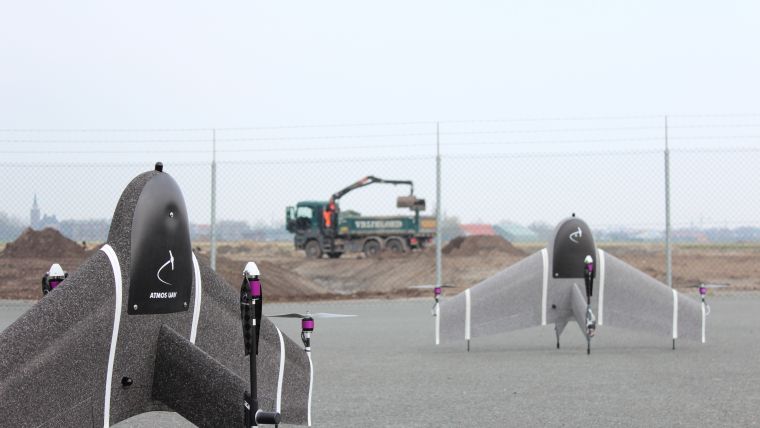
Atmos UAV Expands its Camera Options and Launches New Software
Drone company Atmos UAV has just expanded its payload options. Through multiple R&D projects that lasted almost three months, the Atmos engineering team optimally integrated additional cameras that are now available for customers. Furthermore, the team also launched the newest version of MarLynk, the flight planning and ground control software provided with every Marlyn unit.
To further satisfy customers’ needs for ever-higher accuracy, Atmos UAV extended its camera options to include the RGB Sony RX1RII Full Frame camera and the new MicaSense RedEdge-MX, on top of the Sony QX1 it currently carries.
The new Sony sensor offers an unprecedented ultra-high definition of 42.4MP (8,000 × 5,320 pixels). Its resolution and 35mm lens enable the operator to achieve a GSD and resolution down to 1cm even in the most challenging and demanding projects.
Insightful multispectral imagery has recently been linked to an increase in the success of agricultural applications. With the new RedEdge-MX and its five narrow bands (R, G, B, RE, NIR), it is now possible to generate plant health indexes and RGB images in a single flight.
New MarLynk software
Living up to its motto, "Made by surveyors, for surveyors", Atmos UAV states it continuously implements the feedback that it receives from clients and industry experts. After being extensively tested by Atmos' Expert User Panel, the latest version of the all-in-one MarLynk software has just been launched. New features and a completely improved and more intuitive interface are now available to all Marlyn users.
Among the main improvements are an intuitive graphical user interface with new icons and more straightforward flight planning and monitoring, the ability to plan multiple mapping areas in a single flight and the ability to download offline background maps and perform mapping projects even without access to the internet.
A walk-through video of the new software can be found on Atmos' new YouTube channel.

Value staying current with geomatics?
Stay on the map with our expertly curated newsletters.
We provide educational insights, industry updates, and inspiring stories to help you learn, grow, and reach your full potential in your field. Don't miss out - subscribe today and ensure you're always informed, educated, and inspired.
Choose your newsletter(s)


