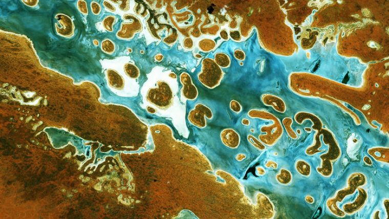
Australia Secures Access to Sentinel Data
ESA and Australia's national geological survey, Geoscience Australia, have agreed to cooperate to ensure data from the EU’s Sentinel satellites are accessible in Southeast Asia and the South Pacific. The agreement supports the partnership between the Australian government and the European Commission to ensure that the EU’s Copernicus Earth observation programme benefits their citizens and the broader international community.
A key component of the cooperation will be the establishment of a regional data access and analysis hub managed by Geoscience Australia (GA). This hub will greatly improve access to Copernicus data in a region which is densely populated and experiencing high rates of economic growth, but which faces significant challenges in areas where Earth observation can help. These challenges include the protection of environmental assets, promotion of sustainable natural resource development and risk reduction from natural disasters.
High-speed access
ESA will supply GA with high-speed access to data from the Sentinel satellites through its Copernicus data access infrastructure. Through a consortium with Australia's CSIRO national research organisation and Australian state governments, GA will make the data hub available to users in the Southeast Asia and the South Pacific region.
The hub is projected to provide access to over 12 Petabytes of data by 2025, and is expected to go beyond simply providing users with the ability to download Copernicus data.
Regional challenges
The regional data hub will also provide a high-performance environment in which all the data can be analysed and applied at full scale to big regional challenges like the blue economy, sustainable livelihoods and climate change adaptation, said GA’s head of Earth and Marine Observations, Dr Adam Lewis.
By enabling multiple user groups, from multiple countries, to come together and ‘work around’ such a comprehensive set of data, they are helping to make sure the full potential of the EU’s amazing programme is realised and that regional partners can find regional solutions to regional challenges, Lewis added.
Science and research infrastructure
The data access hub will be established at Australia’s National Computational Infrastructure, the largest facility of its kind in the southern hemisphere, taking advantage of the Australian government’s investments in science and research infrastructure to support the region.
The cooperation will also make it easier for European and Australian experts to collaborate on the calibration and validation activities that are fundamental to ensuring that users have access to high-quality satellite data and value-added products they can trust.
Through GA, CSIRO and many other players, Australia has long made a valued contribution to ESA’s calibration and validation activities. Its technical expertise, world-class facilities and the diversity of geographies they have access to makes them a key player, said Pier Bargellini from ESA’s Copernicus Space Component Mission Management and Ground Segment Division.
Through this arrangement, we expect to see this grow even further, with Australia making a particular contribution to ensuring Copernicus data satisfies local and regional requirements.
In-situ
Under the arrangement, GA will also act as a coordinating point for European partners to obtain access to Australian in-situ data, which is made available through the efforts of many Australian government agencies, research partnerships and universities.
The EU’s Copernicus programme is about applications and services, and these applications and services are most useful when satellite and in-situ data are integrated, said Andreas Veispak, the European Commission’s head of unit for Space Data for Societal Challenges and Growth.
Veispak said they welcome GA’s commitment to act as a coordination point for access to in-situ data. Australia has a record of providing outstanding data, including through programmes like the integrated marine observing system and terrestrial ecosystem research network. The European Commission is looking at linking Copernicus more closely to these efforts.
The regional data hub will become operational on 1 July.

Value staying current with geomatics?
Stay on the map with our expertly curated newsletters.
We provide educational insights, industry updates, and inspiring stories to help you learn, grow, and reach your full potential in your field. Don't miss out - subscribe today and ensure you're always informed, educated, and inspired.
Choose your newsletter(s)


