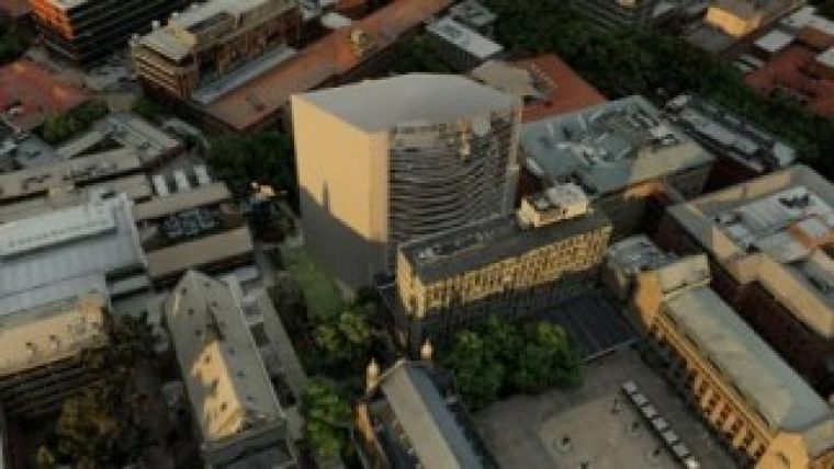
Australian 3D Mapping System Available as Commercial Service
Australian mapping company Aerometrex is now offering its well-recognised 3D mapping system, aero3Dpro, as a commercial service. Aero3Dpro is an innovation resulting from an intensive 12-month development effort by Aerometrex’s R&D team and has brought the company to the forefront of the 3D mapping service providers.
Aero3Dpro provides an information-rich, highly-accurate 3D model of all types of urban and rural landscapes. It offers users an unlimited variety of perspectives of both real (existing) and modelled (not existing yet) landscapes.
The end-to-end service starts with data acquisition of thousands of 2D photographs from aerial platforms such as fixed-wing, helicopter and UAVs, and carries through the image processing, triangulation and modelling phases to generate finished 3D models.
Aero3Dpro is a major step forward for mapping systems, which has traditionally presented its products in 2D plan view. Utilising key techniques from photogrammetry, aerial surveying, computer vision and gaming, Aero3Dpro presents 3D virtual environments that are both rich in information and highly accurate.
The final 3D models can be presented on a conventional computer screen with a free viewer, or in 3D stereo on a 3D TV. While 3D vision has been used by photogrammetry since its inception over a hundred years ago, the availability of 3D viewing systems in mainstream devices such as 3D TVs and even portable devices will mean a ground shift in the way mapping information will be dealt with in the near future.
The challenge of dealing with the vast amount of modelled data generated over urban landscapes has been effectively handled by a very recently developed computer gaming graphics engine. Aero3Dpro-generated data can also be displayed using third-party software by a games controller device.
According to Aerometrex’s managing director Mark Deuter, the uniqueness of the Aero3Dpro system lies in its resolution and accuracy. Aero3Dpro is modelling real landscapes at extraordinary resolutions of 2-3cm pixels which offers photographic realism and achieving accuracies better than 20mm, verified by independent surveying tests.
Deuter commented that the applications for aero3Dpro are many and varied. Aerometrex is finding applications for Aero3Dpro in areas the company had not even anticipated. The mainstream GIS and mapping applications are well served by Aero3Dpro, but applications have also been identified in movies, crash investigations, advertising, sports events coverages and so on. It has already proved its worth as an outstanding tool for community consultation, Deuter added.
Aero3Dpro is available as a service, not as a software package. Deuter said Aerometrex is experiencing high demand for this service in Australia and is now investigating ways to serve international demand for these products.

Value staying current with geomatics?
Stay on the map with our expertly curated newsletters.
We provide educational insights, industry updates, and inspiring stories to help you learn, grow, and reach your full potential in your field. Don't miss out - subscribe today and ensure you're always informed, educated, and inspired.
Choose your newsletter(s)


