Australian State Launches Machine Learning Tree Mapping Tools
Thanks to machine learning, Victoria's Department of Environment, Land, Water and Planning (DELWP) is making it easier than ever before to get information about the tree cover extent state-wide. Victoria is the most densely populated state in Australia. It works with a suite of foundation spatial data called Vicmap.
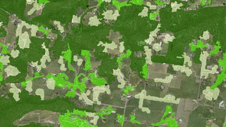
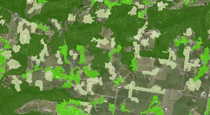
Vicmap Vegetation has launched three new machine learning products that will help in a range of land management applications, from bushfires to precinct planning. Machine learning uses artificial intelligence to find patterns in massive amounts of data. For Vicmap Vegetation, the process identifies trees from the state’s collection of high-resolution aerial photography and elevation data from the Coordinated Imagery Program.
The updated Vicmap Vegetation portfolio provides detailed data on tree cover and tree points across select urban areas across the state of Victoria. This is the first time that machine learning has been used to update and create a Vicmap product.
A state-wide dataset in less than one week
The innovative approach means that tree cover extent can now be regularly updated as new imagery is acquired through the Coordinated Imagery Program, which was previously not possible.
With machine learning, a state-wide dataset can be created or refreshed in under a week using cloud-based, parallel processing. This compares to labour-intensive manual methods estimated to take 100 full-time employees more than two years to deliver the same result.
Two of the new products are state-wide products: Tree Extent (20cm resolution raster) and Tree Density (vector). The Tree Urban product shows centrepoints and heights of trees. It has been created for metropolitan regions in four regional councils (Wangaratta, Shepparton, Sale and Ballarat) as well as for Metropolitan Melbourne.
Lidar as new input dataset
The regional focus provides an important opportunity for regional town planners, ecologists and spatial analysts to build upon any tree information held by local councils. There will be opportunities to extend this dataset as new input datasets such as Lidar become available.
Victoria’s foundation spatial data underpins systems that are relied on every day. Vicmap products are accessed more than 100 million times a year across the Victorian Government’s digital platforms, supporting essential services, industry and innovation across the Victorian economy. Geospatial data and expertise is also delivered by DEWLP’s partner FrontierSI.

Value staying current with geomatics?
Stay on the map with our expertly curated newsletters.
We provide educational insights, industry updates, and inspiring stories to help you learn, grow, and reach your full potential in your field. Don't miss out - subscribe today and ensure you're always informed, educated, and inspired.
Choose your newsletter(s)


