Bluesky University of Leicester SPRINT Project Brings AI to Insurance Sector
This article was originally published in Geomatics World.
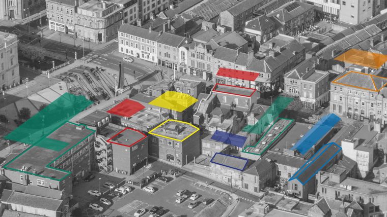
Aerial mapping company Bluesky International is partnering with the University of Leicester to develop a new portfolio of geospatial data products for the UK insurance sector. Using machine learning and Artificial Intelligence, combined with satellite imagery and aerial survey data, it is hoped the SPRINT (Space Research & Innovation Network for Technology) funded project will improve the analysis of key urban environmental data to automatically recognize building classifications and structure detail.
“We were keen to explore the potential of AI and machine learning for the automatic identification and classification of data for use within the insurance sector,” commented James Eddy, technical director of Bluesky International. “So, having strong ties with the academic community, having worked alongside university and higher education organizations on other projects, we approached the University of Leicester.
Utilizing the wealth of satellite data
“Directed to the School of Mathematics and Actuarial Science, we were introduced to SPRINT. The space-based aspect means we can use mathematical methods to look at data in different forms, and, by the end of this project, we hope to develop a technique to extract data and produce it commercially for a range of sectors.”
Ivan Tyukin, Professor of Applied Mathematics at the University of Leicester added, “Satellite data is an extremely valuable resource, and the volume of this data grows very fast. It is hence important to develop methods enabling organisations to utilize this wealth of resources in the most efficient and reliable way. In our project, we will employ state-of-the-art machine learning techniques to extract information from available satellite datasets and fuse this extracted information with Bluesky’s own proprietary data to increase Bluesky’s data analysis capabilities.”
Object classification systems and remote sensing data
Bluesky is an established provider of geospatial data, including nationwide coverage of high resolution aerial photography and 3D height models. Working alongside academics from the mathematics department, it is hoped this project will leverage the University of Leicester’s deep expertise in object classification systems, as applied to satellite remotely sensed data. Aerial imagery, from visible and infra-red sensors, can then be used, in isolation and combination, to deliver a robust, high confidence intelligence service.
The Bluesky University of Leicester project will be funded by a grant from the £4.8 million SPRINT programme. SPRINT provides unprecedented access to university space expertise and facilities, helping business with the commercial exploitation of space data and technologies.

Value staying current with geomatics?
Stay on the map with our expertly curated newsletters.
We provide educational insights, industry updates, and inspiring stories to help you learn, grow, and reach your full potential in your field. Don't miss out - subscribe today and ensure you're always informed, educated, and inspired.
Choose your newsletter(s)


