Britain from the Air Online
One hundred aerial images which form part of an extraordinary outdoor exhibition can be viewed on a new interactive map created using Ordnance Survey, UK, data. The online availability was facilitated by the detailed online mapping service OS OpenSpace. The free service allows developers to create individual maps, and with the help of OS OpenSpace Web-Map Builder, users, in this case the Royal Geographical Society, can easily add markers, routes and search functionality to their web map without having to write a single line of code.
In September 2010 Michael Palin, President of the Royal Geographical Society (with IBG) officially opened the Britain from the Air street gallery in the historic centre of Bath. The outdoor exhibition was created by the Society jointly with street gallery pioneers WeCommunic8, and supported by Ordnance Survey.
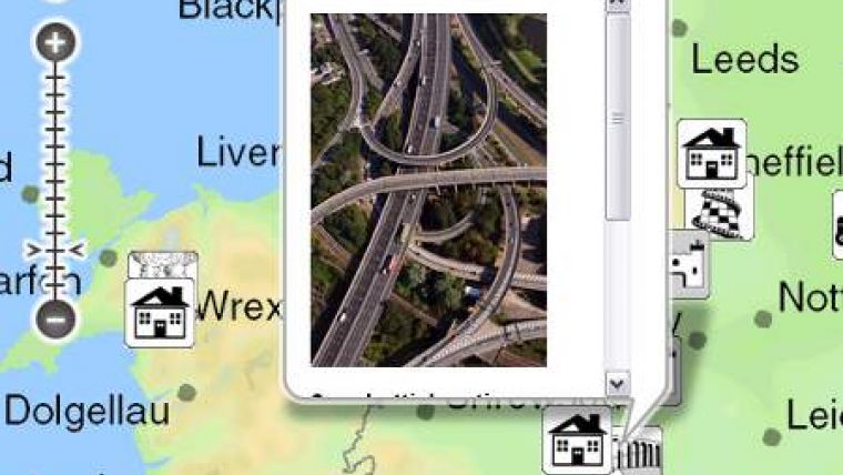
The exhibition is free to view and accessible 24 hours a day, offering visitors the opportunity to see Britain as they have never seen it before through 100 stunning images, which capture Britain's beauty as seen from its skies. The photographs reveal mountain valleys carved by glaciers, saw-toothed coastlines edged by glistening waters, abandoned villages and transport networks, telling their story with text, historical images from the Society's Collections, and maps.
The exhibition also gave visitors the chance to walk the length and breadth of the country and visit the locations featured in the exhibition on a 16 x 8 metre ‘walk on' Ordnance Survey map.
The new Britain from the Air online map allows visitors to zoom and pan across the country clicking on the many icons to view and read in more detail about the image. On the map all the images have been grouped into nine broad themes, each shown by an icon. For example, to find images of amazing coastlines click on the bucket and spade icon; to see historic and iconic buildings, click on the castle icon.
"Ordnance Survey supported the outdoor exhibition with a giant walk-on map and now through OS OpenSpace have enabled the exhibition to go online. The new interactive map is a great way for people to view, and pinpoint the locations of, the many stunning images. I hope that the new online map will give visitors a new perspective, understanding and desire to explore some of the beautiful locations that we have in Great Britain."
The Britain from the Air exhibition is expected to finish in Bath on 14th March 2011 with the exhibition moving to Oxford between 24th June and 4th September 2011. However, all the images are also available to view online using the website below.

Value staying current with geomatics?
Stay on the map with our expertly curated newsletters.
We provide educational insights, industry updates, and inspiring stories to help you learn, grow, and reach your full potential in your field. Don't miss out - subscribe today and ensure you're always informed, educated, and inspired.
Choose your newsletter(s)


