Cadcorp Launches Risk Modeller for Fire and Rescue Services
Geographic Information Systems (GIS) software developer Cadcorp has released a new application to help fire services determine aggregate risk. Risk Modeller provides analytical functionality for determining risk by combining the effects of spatial and attribute data from a range of different layers.
A significant number of UK Fire & Rescue Services (FRS) are currently using Cadcorp SIS Map Modeller GIS software and Workload Modeller to assist in the production of Integrated Risk Management Plans (IRMP). Following a customer consultation exercise, the requirement for an additional application for locating, assessing and analysing risk coverage was identified. Risk Modeller was subsequently developed.
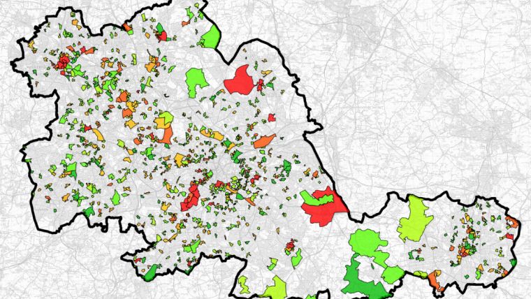
Risk Modeller can be used to create multiple risk maps based on historical data, projected data and demographics as well as changes to population distribution and transport links. It can be used to test the impact of various risk factors, the options include:
- Attribute Risk – using attributes from a layer, weightings can be assigned to different risk factors, which are then combined to produce an aggregate risk figure. Attributes such as demographic, census, economic and population data can be used.
- Quantitative Risk – this technique aggregates point data according to the boundary features they fall within. The point data can be counted using geographic features, an automatically created grid or using an attribute for greater granularity.
- Life Risk – Life risk, fatalities, casualties and rescues are calculated, weighted and combined to produce a single life risk value against geographic features or an automatically created grid.
- Link Related Risk – as well as analysing risk within geographic areas, risk on different stretches of road can be calculated using historic incident data. Snapping and assigning incidents to the road network can be performed to create a density report which describes the number of incidents per mile.
- Route Cost Risk – checks the time it takes for appliances to get to defined locations using the road network. It can identify those areas with a high level of risk such as isolation and poor transport links.
All risk modelling uses thematic mapping for the presentation of results. Pre-defined themes or heat maps quickly identify and compare risk between scenarios. Results are created as schema columns on existing or new datasets, automatically archiving the scenario and allowing the comparison of multiple risk combinations.
“Cadcorp Risk Modeller is a significant addition to our range of applications used by Fire and Rescue Services,” said Martin McGarry, managing director of Cadcorp. “After consulting our customers, it became apparent that an additional application would help our customers identify aggregate risk and help inform their plans for its mitigation.”
Visit the Cadcorp website for more information on the GIS tools they supply to the Fire & Rescue services sector.

Value staying current with geomatics?
Stay on the map with our expertly curated newsletters.
We provide educational insights, industry updates, and inspiring stories to help you learn, grow, and reach your full potential in your field. Don't miss out - subscribe today and ensure you're always informed, educated, and inspired.
Choose your newsletter(s)


