Charter for Agriculture Domain Working Group
An Agriculture Domain Working Group of the Open Geospatial Consortium (OGC) is being chartered as an open forum for the discussion and presentation of interoperability requirements, use cases, pilots and implementations of OGC standards in the agricultural domain. Initiators of the new SWG seek comments from the public on the draft charter. The comment period closes on 31 July 2014.
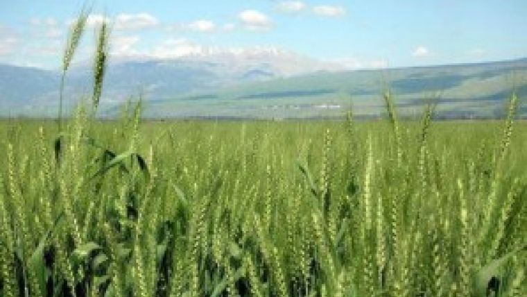
Few human activities are more tied to location, geography and the geospatial landscape than agriculture. Farming businesses, food supply chains and public agricultural policies are increasingly tied as well to quantitative data about crops, soils, water, weather, markets, energy and biotechnology. Agriculture now touches many aspects of the work that OGC is doing to promote interoperability of geospatial data and geographic analysis.
Data users include growers, consultants, landowners, suppliers, and foodstuff processors, as well as regulators at all levels of government. They have common needs to exchange data on the extent and utilisation of farmland, soil and crop characteristics, water availability, environmental impacts, etc. The complexity in global food supply chains is leading to societal needs for tracking and tracing of products for purposes of food safety, tax collections, and customs operations efficiency. All of these activities require information standards that support market and regulatory transparency.
The rapid evolution of information technology in agriculture is being driven above all by historic challenges to traditional agricultural practice now posed by climate change, increasing population, shortage of water and arable land, pollution, and changing diet. As agriculture moves into an era of large-scale geospatial information exchange, it seems timely for an OGC Domain Working Group to support development, implementation and use of open interface and encoding standards and best practices that maximise interoperability and address these challenges.
The draft charter can be found here. Comments should be submitted to charter-requests@opengeospatial.org.

Value staying current with geomatics?
Stay on the map with our expertly curated newsletters.
We provide educational insights, industry updates, and inspiring stories to help you learn, grow, and reach your full potential in your field. Don't miss out - subscribe today and ensure you're always informed, educated, and inspired.
Choose your newsletter(s)


