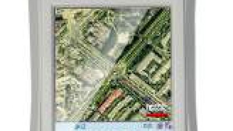
CHC LT400 Sub-metre GPS/GIS Data Collector
CHC (China) has introduced the LT400, a compact, rugged and cost-effective handheld sub-metre real-time GPS receiver for GIS and mapping professionals. The LT400 is a GIS hardware solution for use with third-party GIS software applications and is suitable for a wide range of uses in fields such as forestry, utilities and agriculture.
The manufacturer designed the device with real-world field conditions in mind, thus providing the LT400 with 3.7" full VGA sunlight-readable display, 806MHz processor, all-day battery life and a professional high-performance 12-channel GPS receiver consistent SBAS and DGPS sub-metre accuracy to capture data wherever needed.
Powered by the Windows Mobile 6.1 Pro operating system, the LT400 is a multi-functional solution also includes a GPRS modem for connecting to real-time DPGS network, Bluetooth connectivity and a 3.2 megapixel camera with autofocus.

Value staying current with geomatics?
Stay on the map with our expertly curated newsletters.
We provide educational insights, industry updates, and inspiring stories to help you learn, grow, and reach your full potential in your field. Don't miss out - subscribe today and ensure you're always informed, educated, and inspired.
Choose your newsletter(s)


