Checking Pile Driving Using Scanning and Topocad
When expanding the infrastructure with new roads and intersections, sustainable solutions and stable constructions are needed. Pile driving is a key element of this process. To guarantee quality when checking pile driving, consultancy company Projektengagemang Geografisk Information, Sweden, has developed a method that combines scanning and Topocad.
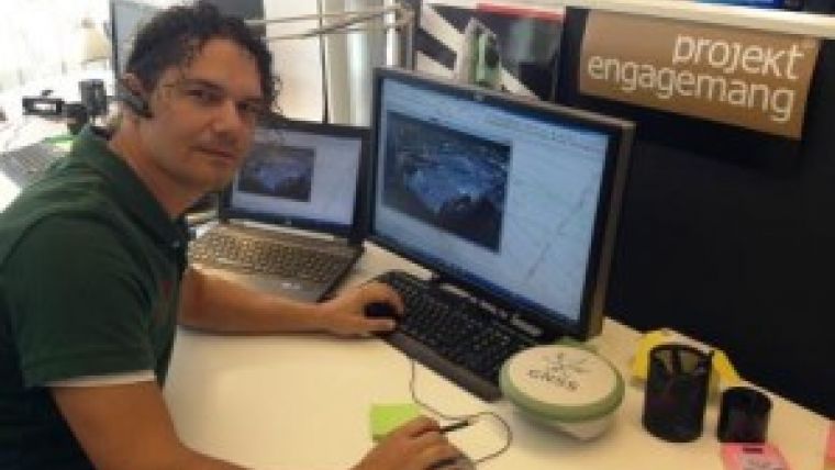
Göran Norberg, a surveyor at the consultancy company, is currently working on a project involving the construction of four bridges on a section of road between Hjulsta and Kista, just north of Stockholm. His job involves transferring data from drawings to the site where the bridges are to be built and resolving any problems that might arise. Among other things, he has to measure piles that have been put into position and compile the information in a pile record. The client receives an updated drawing showing where the piles are, and on the basis of their exact position the bridges can be dimensioned in terms of durability and other factors. In order to identify potential problems during the construction process, his company has developed a method of achieving greater certainty when checking the piles.
The bridges are being built on an area consisting of an old sea bed, which is dominated by clay. It is therefore not certain that each pile sunk will be in position in the ground as shown on the drawing. The positions of the piles are therefore checked and compared with the planning map.
While a control measurement of the pile in the ground can be carried out in the traditional way by measuring the position of the pile at single points, this does not identify whether the pile has moved since it was first sunk. Hence Göran had the idea to laser-scan the piles instead of referring to each measurement point. The entire piling area was scanned using four set-ups. Two scans were carried out to see whether there had been any displacement. The information obtained was then processed in Topocad. This entailed importing a cross-section from the piles into Topocad from the point cloud, then creating a drawing. The information from the scan was then imported into the layer structure.
The two scans were placed in separate layers in Topocad, with each layer scanned being visualised by a separate colour. Both scans referred to the same cross-section in the piles, and the edges of the piles are visible on the drawing. The layers were measured, and by measuring the difference between the edges of the piles at the same height in Topocad, the company could draw conclusions about whether the piles had moved.
This was visualised with the aid of Topocad. Using the information from the scan and the drawing material, the properties of the piles can be presented more clearly than would be the case had there been one measurement point on a 2D drawing.
Göran Norberg explained that he believes that performing a control measurement at one point as in the past is easier. It takes time to take a scanner out into the field, to scan various positions and to process what is often a massive volume of data in the point cloud. But he claimed that working with laser scanning is still more efficient, since it is more reliable than using a measuring instrument. By having a clear image of the piling from the outset, the method can be used to prevent various problems that can compromise the stability of the construction work, and hence this method enables both time and resources to be saved in the project, he said.

Value staying current with geomatics?
Stay on the map with our expertly curated newsletters.
We provide educational insights, industry updates, and inspiring stories to help you learn, grow, and reach your full potential in your field. Don't miss out - subscribe today and ensure you're always informed, educated, and inspired.
Choose your newsletter(s)


