Compact Framework SDK for Mobile GIS Development
TatukGIS, Poland, has announced the version 10 upgrade of its Developer Kernel Compact Framework edition (DK10.CF) for mobile GIS application development for the Windows Mobile and CE operating systems (WinCE, PocketPC, Windows Mobile 5.0, 6.x, Windows Embedded Handheld 6.x). This upgrade elevates the functionality DK.CF edition up to the level of the other editions of the Developer Kernel product that are for desktop application development.
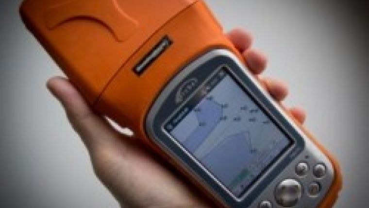
Despite the popularity of alternative mobile operations systems for retail applications, Windows Mobile and CE are still used on most rugged handheld computing devices that are favored for enterprise-level, industrial type GIS solutions in industries such as forestry and land management, mining, oil and gas, etc. Good examples of such rugged handheld GIS devices running Windows Mobile and CE are the products produced by Juniper Systems.
The DK.CF is a pure .NET SDK supporting Compact Framework version 3.5. As a pure .NET component, the DK-CF is processor independent, meaning that a DK.CF application can run on any Compact Framework compatible processor without need for recompilation. Because the DK.CF shares the same object API as the pure .NET WinForms edition of the TatukGIS Developer Kernel, porting a DK.NET developed desktop application to the DK.CF is as easy as copying the code to the DK.CF and recompiling.
Though some mobile computing devices are CPU limited relative to full desktop computers, performance of a DK-CF developed application need not be limited by data size. If necessary, large data sets can be read from external storage such as a removable SD card. For large vector or image layers, the SQL based storage (on the SQLite database) is an option.
A list of the DK-CF features and specifications is presented on the DK Features page.
The version 10 is a free upgrade for all existing DK.CF customers. A DK.CF 10 trial version is available for evaluators.

Value staying current with geomatics?
Stay on the map with our expertly curated newsletters.
We provide educational insights, industry updates, and inspiring stories to help you learn, grow, and reach your full potential in your field. Don't miss out - subscribe today and ensure you're always informed, educated, and inspired.
Choose your newsletter(s)


