COVID-19 Sparks New Online Geospatial Health Information Visualizations
This article was originally published in Geomatics World.
In a few short months, the coronavirus pandemic has had significant and devastating impacts and changed the way we live and work. Organizations of all types are quickly adjusting to the new, entirely virtual, environment for communicating information to continue operations for essential public services and develop solutions to advance response strategies. Geospatial professionals are playing an important role in helping governments to curb the outbreak of the virus and to keep our societies running.
The shift to online communication is evident in the massive increase in virtual meetings taking place but also by the proliferation of online information resources, data services, analytics and visualization tools being made available to help with the growing crisis.
Geospatial insights
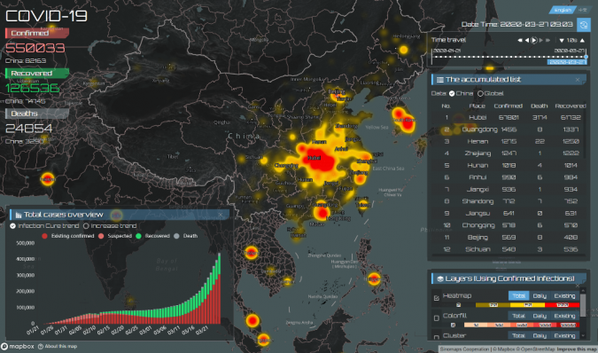
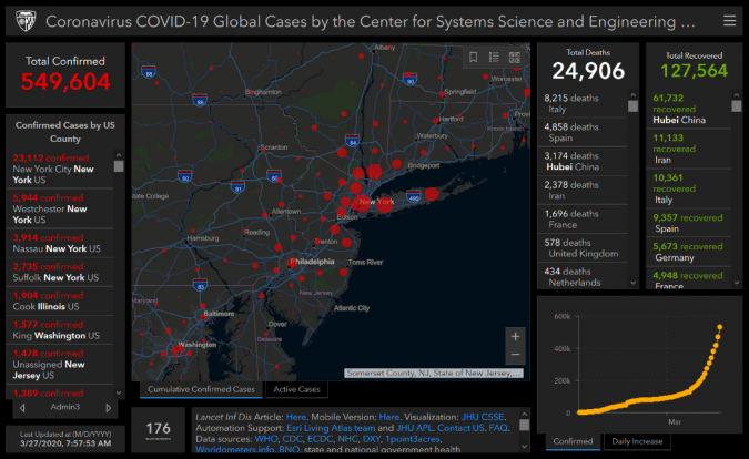
To meet the immense challenge posed by the pandemic, organizations across government, commercial, academic, faith-based, and non-profit sectors are contributing to the collection, analysis, and communication of health data like never before. New tools and resources to help understand and respond to the community spread of COVID-19 are being made available every day. Models that track the outbreak over time and space are enabling decision-makers and the public to design appropriate response strategies during this large and rapidly moving emergency.

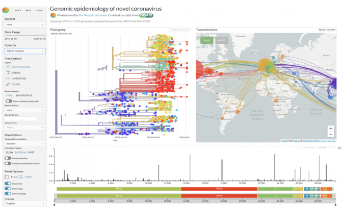
Geo-scientists and technology professionals are contributing some of the most useful insights. Geospatial Information Systems (GIS) which are able to ingest and overlay geographically referenced data allow analysts to visualize and query disparate community health information. For example, the ability to relate the number and location of COVID-19 cases with nearby hospitals is crucial for public health officials to design quarantine policies and prepare facilities, supplies, and the healthcare workforce. Careful monitoring of the number of respirators and available beds at hospitals and health facilities must be done continually as the locations of outbreaks change over time. Real-time mapping to support medical supply chain logistics is one of the most important capabilities currently needed to coordinate the shipment of supplies to communities in need. Epidemiologists are increasingly able to model the genomic characteristics and spread of viruses and link that information to GIS as they study the evolution of pathogens.
Health information modelling
We are witnessing the dawn of a new era in health information modelling and visualization being powered by location-based technologies and geospatially intelligent systems that facilitate public awareness, increase scientists' understanding of viruses, and improve crisis preparedness and response outcomes. As the demand for geo-health systems increases, so too will the demand for data scientists and geospatial technology professionals who can manage their development to be interoperable, reliable, and secure.


Value staying current with geomatics?
Stay on the map with our expertly curated newsletters.
We provide educational insights, industry updates, and inspiring stories to help you learn, grow, and reach your full potential in your field. Don't miss out - subscribe today and ensure you're always informed, educated, and inspired.
Choose your newsletter(s)


