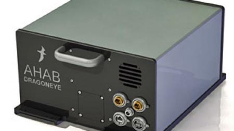
DragonEye Lidar System
DragonEye is AHAB\'s new Airborne Topographic LIDAR system. By offering a pulse repetition frequency of above 300 kHz, real time digital signal processing of waveform, multiple pulses in the air, and unlimited number of range captures per pulse, DragonEye represents the next generation Airborne LIDAR systems.
In addition the small size and low power consumption assures easy integration in various platforms. The system mainly consists of two collecting chains; one laser range finder for land (topographic) and a camera collecting images.
The laser range finders emits pulses and measure the time distance from output pulse to return pulse in order to calculate the distance to target. The laser range finders consists of a laser, photo detectors and receiver electronics, rotating mirror, reception telescope and control computers.
The pulsed laser responses are received by a telescope and photo detectors converting them to electrical signals. The signals are sampled using digitizers and stored together with navigational data and scanner positions in order to enable post processed high precision positions of land. The data is also processed during flight for realtime presentation and monitoring of survey progress.
The Digital Cameras takes images in a rate that it covers the ground with some overlap. Each image covers the width of the flightline.

Value staying current with geomatics?
Stay on the map with our expertly curated newsletters.
We provide educational insights, industry updates, and inspiring stories to help you learn, grow, and reach your full potential in your field. Don't miss out - subscribe today and ensure you're always informed, educated, and inspired.
Choose your newsletter(s)


