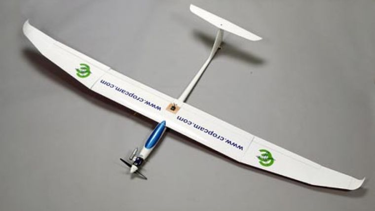
EnsoMOSAIC UAV
The most new activity in remote sensing is at the moment found in the UAV and UAS sector (Unmanned Aerial Vehicle / System). There are hundreds of companies, institutions and individuals constructing UAVs for various uses and objectives. Both fixed wing and helicopter -based approaches are popular.
To serve manufacturers and operators of UAVs Stora Enso has released new versions EnsoMOSAIC UAV and EnsoMOSAIC UAV Pro of its leading EnsoMOSAIC automatic small and medium format image processing software. The new versions have full functionality and image rectification power, and are scaled for typical imaging project sizes of UAVs.
The cameras used in UAVs are less stable than traditional aerial cameras and prone to physical damage due to sometimes harsh and uncontrolled landings. Stora Enso will shortly release stand-alone camera calibration software, which enables UAV operators to control the internal orientation of their cameras and to continuously create mapping quality image products.

Value staying current with geomatics?
Stay on the map with our expertly curated newsletters.
We provide educational insights, industry updates, and inspiring stories to help you learn, grow, and reach your full potential in your field. Don't miss out - subscribe today and ensure you're always informed, educated, and inspired.
Choose your newsletter(s)


