ESA Earth Observation Summer School
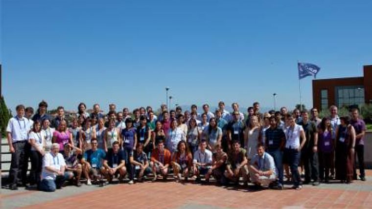
The sixth ESA Earth Observation Summer School has come to a close. The two-week course saw 70 students from more than 20 countries worldwide convene at ESRIN, ESA’s centre for Earth observation in Frascati, Italy. The students, mostly PhD students and young postdoctoral scientists, attended daily lectures covering issues related to remote sensing, Earth system modelling and data assimilation.
Jean-Noël Thépaut, Head of Data Division at the European Centre for Medium-Range Weather Forecasts, gave a lecture on the use of satellite data for numerical weather prediction.
Irene Garonna, who is starting her PhD in Earth observation at the University of Zurich, Switzerland, found that attending the Summer School has given her a solid background to perform her research.
Presentations on urban classification were particularly useful for Ionut Ciprian Iacob, a first year PhD student at the University of Babes-Bolyai in Cluj-Napoca, Romania. He said that attending has given him more confidence in his knowledge.
Following the daily lectures, the students were given practical computing exercises on the processing of Earth observation data with computer-based learning.
Lecturers and students also had the opportunity to discuss the current state of Earth science and applications, and their implications for society. This helped the students appreciate how their specific field fits into a broader scientific and societal context.
The students also presented their own work to the other participants in daily poster sessions each evening. At the closing session of the Summer School, awards were given out to the best posters. Winners included Ruggero Giuseppe Avezzano from Italy for his poster on oil spill monitoring, as well as Philipp Rastner from Switzerland for his glacier inventory of Greenland. Elizabeth Wong from USA was also recognised for her poster on the sea-surface thermal skin layer.
She is currently using archived MERIS data from ESA’s Envisat mission to assess aquatic ecosystems in Australia. Since the country has just come out of a major drought, the ten years of archived data have proved to be a useful tool for monitoring water quality before, during and after this most recent drought.
She is looking forward to the upcoming launches of the Sentinel satellites being developed for Europe’s Global Monitoring and Environment Security (GMES) programme to provide data for continued inland water quality monitoring.

Value staying current with geomatics?
Stay on the map with our expertly curated newsletters.
We provide educational insights, industry updates, and inspiring stories to help you learn, grow, and reach your full potential in your field. Don't miss out - subscribe today and ensure you're always informed, educated, and inspired.
Choose your newsletter(s)


