Esri Launches Online Data Portal for Africa
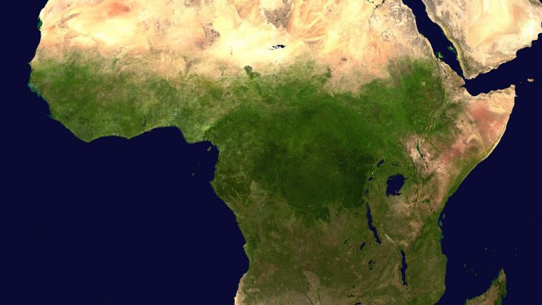
Esri, a global leader in spatial analytics, has launched the Africa GeoPortal, a comprehensive cloud-based platform that provides rich content and solutions from Esri and its partners. The geoportal provides access to Esri's popular ArcGIS Online service as well as geographic data and imagery for Africa. The African Union, African Development Bank, other international agencies, non-governmental organisations (NGOs), academia, businesses and national government funds will be able to use the geoportal to address the most urgent development challenges – from economic development and climate adaptation to conservation and health care.
Luther Jeke, manager of iCampus at iLab Liberia, said access to this Africa GeoPortal powered by the ArcGIS platform will provide his colleagues at the iLab, and others in the network of African Technology Hubs (AfriLabs), with the information and analytical capabilities that enables them to make the most effective development interventions for our citizens and communities.
Industry-leading spatial analytics
This complimentary software-as-a-service technology is offered to all who are supporting African nations for positive economic, social, and environmental outcomes – African citizens, NGOs, and international development agencies alike. The geoportal offers access to industry-leading spatial analytics capabilities and authoritative content for charting compelling, educational, informational, entertaining, and beautiful maps of Africa.
Esri is deeply committed to helping the people of Africa discover, explore, and understand the vast information available to them through the power of maps, said Jack Dangermond, Esri founder and president. Through this service, Esri hopes to provide their users with the benefit of ongoing developments and investments at Esri so they can foster missions to the best of their abilities, Dangermond added.
To learn more about the Africa GeoPortal and Esri's commitment to supporting the global community in the quest for sustainability through better mapping and location intelligence, visit go.esri.com/africa_geoportal.

Value staying current with geomatics?
Stay on the map with our expertly curated newsletters.
We provide educational insights, industry updates, and inspiring stories to help you learn, grow, and reach your full potential in your field. Don't miss out - subscribe today and ensure you're always informed, educated, and inspired.
Choose your newsletter(s)


