EuroGeographics Welcomes Strengthened UN-GGIM
EuroGeographics has welcomed the strengthening of the UN-GGIM mandate and Secretariat resources. “The resolution adopted by the UN’s Economic and Social Council (ECOSOC) recognizes that a strong global geospatial infrastructure is an essential enabler for achieving a sustainable future for all,” said Léa Bodossian, secretary general and executive director at EuroGeographics.
“Many of our members contributed to the work of the Committee of Experts and we are delighted to see such high-level acknowledgement of the crucial importance of location data. We welcome the recognition of knowledge sharing, and we value the importance given to capacity-building to ensure no one is left behind.”
Building a Bridge between the Statistical and Geospatial Communities
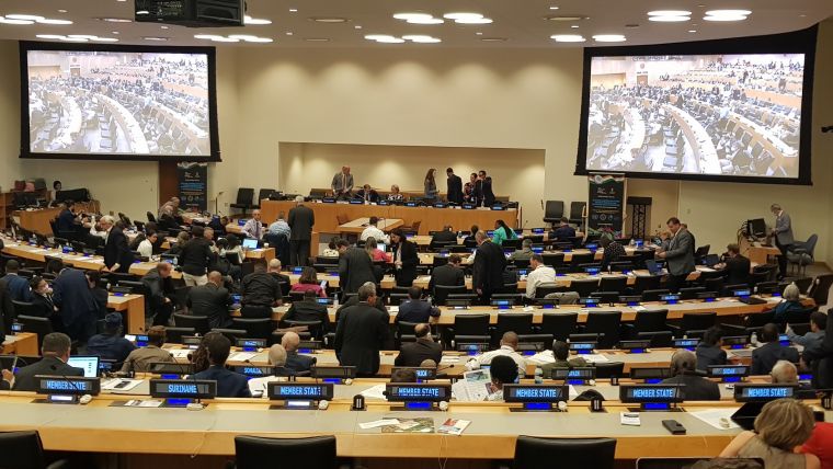
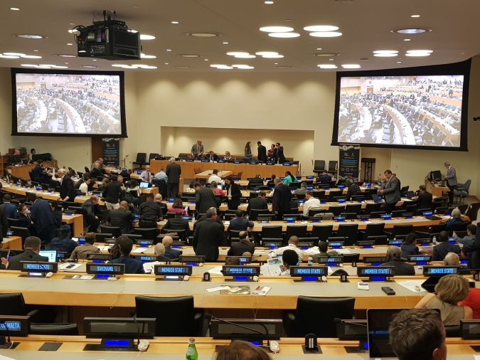
Léa Bodossian made her comments during the twelfth session of the United Nation’s Committee of Experts on Global Geospatial Information Management (UN-GGIM) in New York where the not-for-profit association made a series of interventions as an Observer organization.
She also confirmed EuroGeographics’ commitment to using its unique expertise in authoritative data and its extensive and well-established regional knowledge exchange networks to support a range of international initiatives, including the UN Integrated Geospatial Information Framework (IGIF), the Sustainable Development Goals (SDGs), Geospatial Roadmap, and the Framework for Effective Land Administration (FELA).
In particular, the association offered its support to help strengthen the global geospatial infrastructure in building a bridge between the statistical and geospatial communities. Its aim is to facilitate coordination, collaboration and communication within the international geospatial community via its extensive membership of national mapping, cadastral and land registration authorities, and well-established network for sharing knowledge.
Harmonized Open Data
EuroGeographics continues to facilitate the provision of harmonized open data from official national sources for the United Nations Second Administrative Level Boundaries (SALB) initiative. The 1:1 million scale topographic open dataset, EuroGlobalMap, is created using the association’s unique data integration process and assists the project’s aim of compiling global administrative boundaries data from authoritative sources.
The association reiterated the importance of trusted information from official national providers and was pleased to see that its research outlining the concept of authoritative data in Europe was the basis for the Working Group on Policy and Legal Frameworks for Geospatial Information Management’s initial thinking.
“Official, authoritative data is important because it supports a range of legal, fiscal, security and other public administrative purposes,” stated Léa Bodossian. “For example, cadastral authorities and land registries fulfil an essential role providing official, detailed, secure and reliable information on property rights and registration.”
“This trusted data is essential to meeting increasingly challenging national, regional and global demands, and EuroGeographics is committed to continuing to contribute to the public good through its vision of a society empowered by the use of trusted geospatial services from its members.”

Value staying current with geomatics?
Stay on the map with our expertly curated newsletters.
We provide educational insights, industry updates, and inspiring stories to help you learn, grow, and reach your full potential in your field. Don't miss out - subscribe today and ensure you're always informed, educated, and inspired.
Choose your newsletter(s)


