Expanded Capabilities for Survey Data Management
Trimble has introduced version 2.50 of Trimble Business Center software for surveying offices and a new Data Processing Service, a component of the Trimble Access Services. Trimble Business Center is an office desktop solution integrating common survey office processing tasks for GNSS and optical terrestrial surveying data into a single, unified package. Trimble Access Services combine Web-based applications enhancing survey efficiency using the cloud.
Together, the new Trimble Business Center 2.50 and the Data Processing Service provide surveyors with substantial new capabilities for processing, enhancing and customizing their survey data and collaborating with the field survey team.
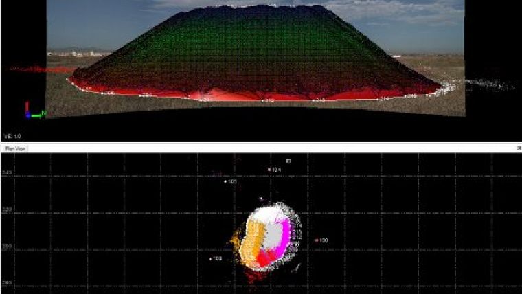
Trimble Business Center 2.50 is intuitive and flexible. It includes features that give office staff the ability to fully utilise the integrated survey workflow for increased productivity. New features empower the user to start processing integrated survey projects in Trimble Business Center and then move survey, scan and image data seamlessly to Trimble RealWorks to complete point-cloud and image processing; readily export/import more reduced-point and observed-point information to/from other applications; load more images and data while maintaining system performance and compute weighted averages for point coordinates; create and deliver stunning panoramic displays from Trimble VX Spatial Station and Trimble S8 VISION data sets; perform complicated tasks easily with step-by-step Workflow Guides and create custom, geo-referenced images to use in the field with Trimble Access.
In addition, media files, such as digital photos captured with the Trimble TSC3 controller and Trimble Tablet can now be easily displayed, edited, and exported to GIS and Google Earth.
The new Data Processing Service is available from the Trimble Business Center 2.50 software and Trimble Connected Community portal. The service makes it easy for the user, with just a few simple steps, to send raw GNSS observation files to an internet processing service, such as AUSPOS and Online Positioning User Service (OPUS), which returns a corrected coordinate for the observed control point. OPUS, which is owned by the US National Geodetic Survey (NGS), returns an XML file that can be directly imported to Trimble Business Center to incorporate processed points with other survey data. The Data Processing Service can also automatically convert Trimble-format files to RINEX, and read antenna information for verification and editing.

Value staying current with geomatics?
Stay on the map with our expertly curated newsletters.
We provide educational insights, industry updates, and inspiring stories to help you learn, grow, and reach your full potential in your field. Don't miss out - subscribe today and ensure you're always informed, educated, and inspired.
Choose your newsletter(s)


