FairFleet Wins 4-year Contract for EU Emergency Mapping Services
FairFleet has won a four-year framework contract to provide unmanned aerial services for the Copernicus Emergency Management Service. The contract was awarded by the Joint Research Center of the European Commision. Copernicus is an EU programme aimed at developing European information services based on satellite Earth observation and in situ (ground) data.
Copernicus Emergency Management Service (Copernicus EMS) is to provide information for emergency response in relation to different types of disasters, including meteorological hazards, geophysical hazards, deliberate and accidental man-made disasters and other humanitarian disasters, as well as prevention, preparedness, response and recovery activities. The mapping component of the service (Copernicus EMS – Mapping) has a worldwide coverage and provides the above-mentioned actors (mainly Civil Protection Authorities and Humanitarian Aid Agencies) with maps based on satellite imagery. The service has been fully operational since 1 April 2012, and it is implemented by the European Commission DG Joint Research Centre (JRC).
Post-event Imagery
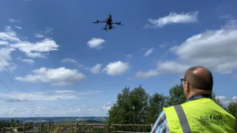
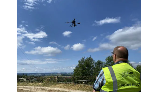
FairFleet will provide unmanned aerial services for Copernicus EMS – Mapping as an alternative source of post-event imagery of satellites in emergency situations or as real-time follow up of events (eg. earthquakes, urban flooding) whenever satellite images are not available or when the satellite’s resolution is not sufficient. The drone data gathered by FairFleet in the scope of the framework contract will serve for the Copernicus EMS complementing satellite sources for humanitarian aid and civil protection.
“Drones yield significant benefits due to their higher flexibility of deployment, potential better timeliness and more advanced technical capabilities, especially in situations that require detailed mapping of impact on high-value assets. In this sector, airborne systems often offer the best possible performance in terms of spatial and spectral resolution,” stated Peter Spruyt, project officer of the European Commission Joint Research Center.
“The key requirements for the unmanned aerial platform contract are the creation and maintenance of a European drone operator network and rapid processing capabilities as well as fast data transfer. As FairFleet we were able to prove that we exactly meet the requirements of the Copernicus Programme. We are proud to be part of the Copernicus family now and to provide helpful data to the European citizens,” said Alexander Engelfried, co-founder and managing director of FairFleet.

Value staying current with geomatics?
Stay on the map with our expertly curated newsletters.
We provide educational insights, industry updates, and inspiring stories to help you learn, grow, and reach your full potential in your field. Don't miss out - subscribe today and ensure you're always informed, educated, and inspired.
Choose your newsletter(s)


