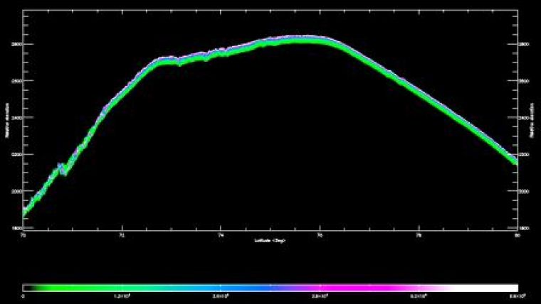
First CryoSat-2 Data
The first data from ESA's ice mission CryoSat-2 are released to selected scientists around the world for fine-tuning. This is the first milestone in the scientific exploitation of the mission's data. These data are essential for determining tiny variations in the thickness of ice floating in the polar oceans and in the large ice sheets that blanket Antarctica and Greenland.
Around 150 scientists from about 40 research institutes now have access to the data. As part of the calibration and validation procedure, they help ensure these measurements meet the mission's exacting standards before the data are released to the wider scientific community later this year.
"This is the first release of CryoSat data to users outside our project team, and notably early for a mission of this type," said ESA's CryoSat-2 Mission Manager, Tommaso Parrinello.
"Working around the clock, we have been very busy manoeuvring the satellite into the correct orbit and resolving a few bugs in the processors to reach this milestone.
"We are now entering the final part of the commissioning phase, where the calibration and validation team play an important role by carefully checking the CryoSat data products before they are released to the scientific community".
Even though CryoSat-2 will not be commissioned until the autumn, the mission has, so far, exceeded all expectations. The satellite and instruments are in excellent health and the data are beyond expectations.
The CryoSat mission promises to deliver data of unprecedented accuracy so that we can understand more about the effect that climate change is having on polar ice. To guarantee accuracy down to centimetres, ESA goes to great lengths to organise extensive airborne and ground measurement campaigns.
These validation campaigns, in the Arctic and Antarctic, involve simultaneous measurements on the ground and from aircraft as CryoSat-2 orbits above. By comparing ground readings with airborne measurements and then the airborne measurements with those from the satellite, the accuracy of the data from CryoSat-2 can be assessed.
CryoSat-2 Validation Manager, Malcolm Davidson says, "The next campaign will be particularly exciting as it'll be the first opportunity we have to make a direct comparison between the satellite data and airborne measurements."
"A welcome contribution of note is coming through collaboration between ESA and NASA. In the autumn, NASA will use one of its DC-8 aircraft to collect ice measurements in the Antarctic as CryoSat-2 orbits above," he added.

Value staying current with geomatics?
Stay on the map with our expertly curated newsletters.
We provide educational insights, industry updates, and inspiring stories to help you learn, grow, and reach your full potential in your field. Don't miss out - subscribe today and ensure you're always informed, educated, and inspired.
Choose your newsletter(s)


