First Ever Indigenous Mapping Day
In partnership with the National Congress of American Indians (NCAI), and in honour of the United Nations' International Day of the World's Indigenous Peoples, Google Map Maker, Google Earth Outreach and the Google American Indian Network organised Google's first ever Indigenous Mapping Day on Friday, 9 August 2013.
A great way to enrich local map data is to join with other members of the community by hosting a MapUp event, in which a group of people come together to improve the places they know and love on Google Maps by using Google Map Maker. MapUps can focus on the map of a neighbourhood, region, or even for a particular feature such as hiking trails or a college campus. On 9 August 2013, tribal members around the world hosted MapUps throughout the day - working together to build the most comprehensive maps imaginable.
Members of tribal communities were involved in adding local roads, schools, health facilities, tribal offices and more. They were even able to map in their tribe's native language. Google Map Maker currently supports Cherokee, Navajo, Inuktitut, Inupiaq, Kalaallisut and Hawaiian.
Tribal Community Empowerment
Many tribal communities in the United States lack accurate mapping information pertaining to roads, buildings, and information on services available to tribal members and the general public. Google Map Maker is a tool that allows tribal governments, businesses and individual citizens to take ownership of their communities as represented on Google Maps, Google Earth, and Google Maps for Mobile. This tool allows these entities to add to, edit and improve digital local maps by mapping tribal offices, medical facilities, local roads, and everything in between! Anything from structures, landscapes, or ATM locations can be identified on Google Maps by using the Map Maker tool.
While the changes made using Google Map Maker are public and visible to more than a billion Google Maps users worldwide, there are plenty of other Google mapping tools that people can use to create customised maps or maps specifically designed for their community. For those who are interested in creating historical or cultural maps about their own tribe, there are online resources available to do just that. Learn how the Surui tribe of the Amazon used Google Earth to create a map of their cultural heritage, or follow Wild South's interactive Google Earth tour through the history of the Cherokee people of North Carolina, and then head to the Google Earth Outreach website to learn more.
For more information please visit the MapUp Guidelines webpage.
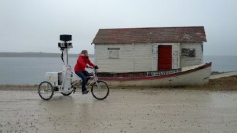
Watch here the video of the Google Maps team visiting the Arctic community of Cambridge Bay.
Image courtesy: Google.

Value staying current with geomatics?
Stay on the map with our expertly curated newsletters.
We provide educational insights, industry updates, and inspiring stories to help you learn, grow, and reach your full potential in your field. Don't miss out - subscribe today and ensure you're always informed, educated, and inspired.
Choose your newsletter(s)


