GAF to Develop Geological Data Management Information System in Malawi
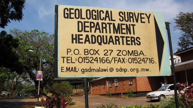
The Ministry of Natural Resources, Energy and Mining in Malawi is establishing a Geological Data Management Information System (GDMIS). GAF has been awarded a contract to design and implement the system at the Geological Survey Department (GSD) in Zomba.
Access to geological information is essential for every government, in order to assess the country’s mineral potential. It is also a cornerstone for attracting new investors to the country’s mining sector. Straightforward and comprehensive access to geological and mineral information is a key element in promoting and developing the mineral resources sector in Malawi.
GIS-based
To increase the capacities of the Geological Survey Department, the Ministry of Natural Resources, Energy and Mining has contracted the German company GAF to design and implement a modern, GIS-based Geological Data Management Information System (GDMIS).
The core objective of the assignment comprises the development of a GIS-based central data repository, a management cockpit and a data catalogue accessible through the internet. The system will thus support the GSD in the management, valorisation, safe storage and dissemination of geoscientific data for the entire country.
In practical terms, the project components include:
- Assessment of capacities and user requirements at the Geological Survey Department;
- Identification and involvement of relevant stakeholders and related programmes;
- Inventory of existing geoscientific and mine operation data;
- Organisation and supervision of the scanning and digitising of existing analogue geological, geochemical, geophysical, and geo-hazard data;
- Data quality control and database integration;
- System and database design, compilation, and implementation;
- Software development, prototyping and training.
The contract has a duration of twelve months and is part of the “Mining Governance and Growth Support Project (MGGSP)”, which is supported by the World Bank and the European Union. The GDMIS in Malawi will be a customized version of GAF’s GeMinIS platform. With more than a decade of experience in the development and implementation of GIS-based geological and mineral information systems, GAF developed the GeMinIS platform to support mineral and natural resource management.
About GeMinIS
The Geological and Mineral Information System (GeMinIS) is GAF’s comprehensive software solution tailored to the specific needs of the mineral governance and natural resources management domains. The GeMinIS is designed and programmed to manage, store, visualise, process and publish data and various types of reports from a heterogeneous range of sources. This central repository can support access to, and interpretation and use of geological and mineral information across a country. It is based on FOSS (free and open-source software) and thus does not involve a vendor lock-in.

Value staying current with geomatics?
Stay on the map with our expertly curated newsletters.
We provide educational insights, industry updates, and inspiring stories to help you learn, grow, and reach your full potential in your field. Don't miss out - subscribe today and ensure you're always informed, educated, and inspired.
Choose your newsletter(s)


