GeoCue Makes European Debut of Point Cloud Software and 3D Imaging Sensor at Intergeo
Making their European debut, LP360 and the all-new TrueView 655/660 will be exhibited at Intergeo 2022. The TrueView 655/660 is GeoCue’s third-generation RIEGL integration built with the miniVUX-3UAV and triple mapping cameras (right, left, nadir) for high-accuracy mapping with excellent vegetation penetration and wire detection in a lightweight payload package.
TrueView 3D Imaging Systems are known for their dual oblique cameras that help maximize mapping and coverage. The new TrueView 655/660 adds a third nadir camera, allowing for imagery directly below the sensor to be captured.
“With our newly released 655/660, the third RGB nadir camera provides a direct view of the ground below. This maximizes data collection for time flown, while improving the quality of photogrammetry and colourized point clouds our customers can provide,” said Frank Darmayan, CEO of GeoCue, about the added coverage of the third camera.
Turning Raw Geospatial Data into 3D Colourized Point Clouds
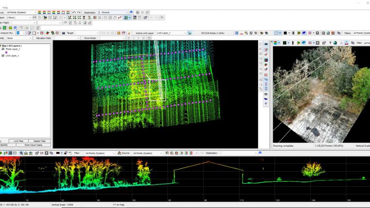
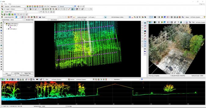
LP360, an advanced geospatial data processing software, is also now available for European GIS professionals to post-process raw geospatial data into 3D colourized point clouds. LP360 has been updated and now offers two product lines to meet all Lidar and photogrammetry data processing needs.
For drone users, LP360 Drone is the core product for drone geospatial data workflow. It can transform Lidar and imagery data into survey-grade deliverables including visualization, quality checks, classification, 3D editing and analysis capabilities. For larger dataset users, LP360 Geospatial can process captured Lidar data or images from any preferred aircraft or mobile sensor and analyse and extract value.
Vivien Heriard Dubreuil, CEO of GeoCue's parent company mdGroup, knows that having the right software is key to getting the most out of Lidar data: “We are excited to bring LP360 to Europe. This software brings many additional features and resources for our users to produce the right deliverables without having to use any secondary processing software. We’ll be demonstrating the workflow and geospatial tools available in LP360 at our Intergeo booth. We encourage users of all survey equipment, including the DJI L1, to visit us with their system-specific questions and challenges. We are confident our software can help improve their deliverables.”

Value staying current with geomatics?
Stay on the map with our expertly curated newsletters.
We provide educational insights, industry updates, and inspiring stories to help you learn, grow, and reach your full potential in your field. Don't miss out - subscribe today and ensure you're always informed, educated, and inspired.
Choose your newsletter(s)


