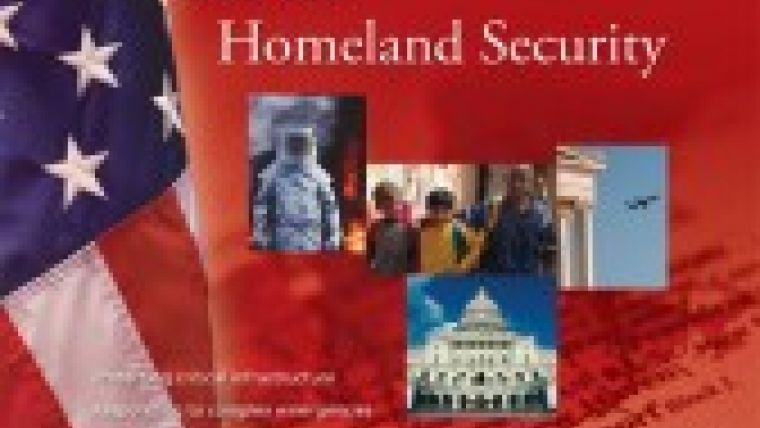
Geospatial Technology in Homeland Security
GIS for Homeland Security, a new book from ESRI Press, chronicles the value of GIS technology in a growing arsenal of technologies used to protect the nation from natural disasters, diseases, and terrorist threats.
The book by Mike Kataoka, an ESRI Press editor and former journalist, describes in nontechnical language how GIS works as a core technology for gathering and analysing intelligence; protecting critical infrastructure; responding to forest fires, hurricanes, and other catastrophes; and planning for bioterrorism or disease outbreaks.
GIS for Homeland Security presents 15 case studies that demonstrate how public agencies and private entities are putting GIS to work on the front lines. One informative case study shows how the Arizona Counter Terrorism Information Center, the state's analysis hub for crime- and terrorism-related intelligence, uses a data fusion system powered by ESRI's ArcGIS software and MetaCarta's Geographic Text Search (GTS). Intelligence analysts can use geography as a filter when searching through documents including news articles, e-mails, and Web pages.
The book also profiles four GIS professionals who have put the technology "to the test under difficult, even dangerous circumstances." Among them is Ron Langhelm of the Federal Emergency Management Agency (FEMA), who has used his GIS expertise to support recovery operations after earthquakes; hurricanes; and the September 11, 2001, attack on the World Trade Center in New York City.
Despite a growing commitment by government officials to use GIS for homeland security operations, the book points out significant challenges, such as some agencies' reluctance to share data for fear of compromising their individual security. The last chapter looks ahead at initiatives meant to encourage data sharing throughout government and improve GIS programs for homeland security.
The book was written for decision makers in government who deal with planning, response, and recovery in a wide range of homeland security situations, whether terrorist attacks or forces of nature. The book is also for first responders, such as police officers, firefighters, and medical personnel dispatched to emergency scenes, who would benefit from the heightened situational awareness a GIS can provide.
Kataoka concludes with a helpful list of acronyms and abbreviations for agencies, programs, software, and initiatives as well as a glossary of homeland security terms.
GIS for Homeland Security (ISBN: 9781589481558, 120 pages, $24.95).

Value staying current with geomatics?
Stay on the map with our expertly curated newsletters.
We provide educational insights, industry updates, and inspiring stories to help you learn, grow, and reach your full potential in your field. Don't miss out - subscribe today and ensure you're always informed, educated, and inspired.
Choose your newsletter(s)


