Global Mapper Lidar Module with Noise Filtering and Power Line Extraction Tools
Blue Marble Geographics has announced the immediate availability of an update to the Global Mapper Lidar Module. Offered in conjunction with the recent release of Global Mapper version 17, Blue Marble’s renowned GIS software, the latest edition of the module includes numerous functional enhancements and performance improvements that have been designed to improve the quality and utility of Lidar and other point cloud data. New and updated functionality includes a tool for automatically detecting and classifying power lines and other above-ground utility cables; a new set of analysis tools for identifying and filtering noise or erroneous points in Lidar data; and an enhancement to the feature extraction tool that allows vector line features to be created a linear array of points such as a utility cable.
Blue Marble's geospatial data manipulation, visualisation and conversion solutions are used worldwide by thousands of GIS analysts at software, energy, mining, civil engineering, surveying and technology companies, as well as government agencies and academic institutions.
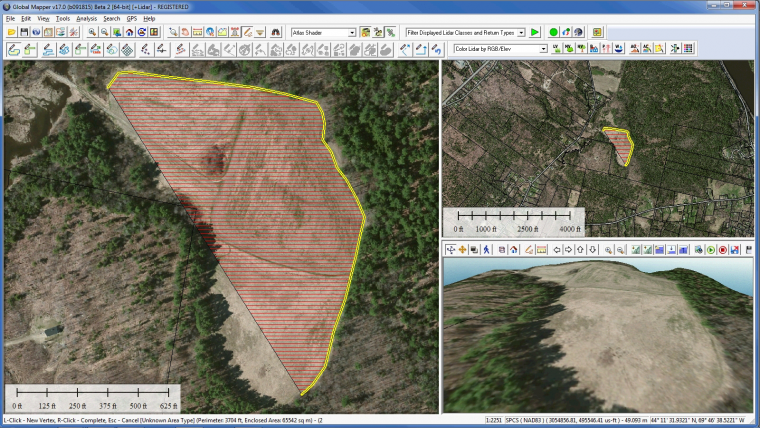
The Global Mapper Lidar Module is developed for anyone working with terrestrial or airborne Lidar as well as other point cloud datasets. As an optional add-on to the software, it provides numerous advanced data processing tools, including automatic point cloud classification; feature extraction; cross-sectional viewing and editing; significantly faster terrain surface generation; and much more.
Above-ground utility line
Building on the existing functionality for identifying ground, building, and vegetation points in an unclassified point cloud, the latest release of the module includes a new tool for detecting and automatically reclassifying above-ground utility lines. After customising the reclassification parameters, such as minimum height above ground and linear offset threshold, the points representing power lines are automatically attributed with the Wire – Conductor ASPRS Lidar class. Analysis of linear patterns in these reclassified points can subsequently be used to create 3D vector lines.
Noise removal
Addressing a major concern among Lidar users, the latest release of the Global Mapper Lidar Module provides an efficient way to remove noise from point cloud data. This filtering tool can reclassify or automatically delete any points that are beyond a prescribed elevation or height above ground threshold within a local area. Other enhancements to the module include dramatically faster data rendering and processing as well as updated filtering tools for selecting and, if necessary, removing points based on class, return intensity, colour range and many other parameters.
Global Mapper users can activate a trial of the module from the Module/Extension License Manager which can be accessed from the Help menu in the software. For a complete list of new features and enhancements or to download a trial copy of Global Mapper, see here.

Value staying current with geomatics?
Stay on the map with our expertly curated newsletters.
We provide educational insights, industry updates, and inspiring stories to help you learn, grow, and reach your full potential in your field. Don't miss out - subscribe today and ensure you're always informed, educated, and inspired.
Choose your newsletter(s)


