GNSS Reference Station Network for Bosnia and Herzegovina
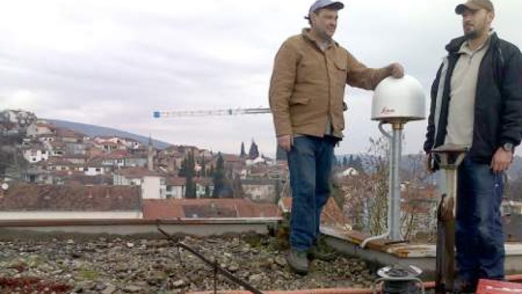
With the installation of the GNSS Reference Station Network BiHPOS, the Republic of Bosnia and Herzegovina (BiH) has laid the groundwork for a modern approach to accurate land measuring and land parcelling. The European Union-financed network consists of 34 reference stations and two control centres, and is a unique installation that brings the two regions in BiH together.
BiHPOS actually consists of two GNSS networks due to the special ethnical and regional situation in Bosnia and Herzegovina: FBIHPOS covers the part of the Federation of Bosnia and Herzegovina, whereas SRPOS is the network for the Republic of Srpska. There are 17 stations in each entity and the two control centres each connect 25 stations: 17 from its own territory and eight from the other control center.
BiHPOS marks the first phase of a spatial information services project initiated by the Ministry of Civil Affairs, which is the administrative institution in Bosnia and Herzegovina responsible for the coordination of all geodetic and geodesy-connected activities on state level. The project is primarily aimed at creating improved conditions for legal and land administration, but also covers the heavily developing real-estate market and enhanced spatial planning. BiHPOS provides services for precise and reliable 3D positioning and navigation.

Value staying current with geomatics?
Stay on the map with our expertly curated newsletters.
We provide educational insights, industry updates, and inspiring stories to help you learn, grow, and reach your full potential in your field. Don't miss out - subscribe today and ensure you're always informed, educated, and inspired.
Choose your newsletter(s)


