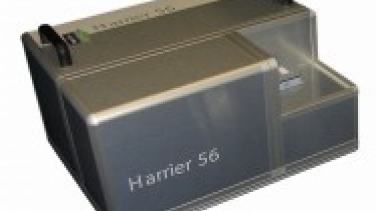
Harrier 56/G3 Scans 200,000 ppp
TopoSys (Germany) has introduced the third generation of the airborne laser sensor system Harrier 56/G3. It allows scanning with 200,000 laser pulses per second and provides highest level of details for applications such as corridor mapping.
The TopoSys sensor system Harrier 56 that was introduced in October 2005 has been and is now presented in the third generation as Harrier 56/G3. The 15 pulse rate of the laser has been increased from 100,000 laser pulses to 200,000 laser pulses per second, what results in a lot of advantages especially for corridor mapping applications and in the sector of construction and engineering.
Due to point densities of up to 40 measurements per square metre in many cases terrestrial or photogrammetrical measurements are no longer necessary. For this reason a reduction of costs can be achieved and the advantages of Airborne Laser scanning can be extended on applications that in the past were only suited for other 30 surveying technologies.
Starting in January 2007 for all Harrier 56 clients it will be possible to upgrade their sensor system.
(Source: TopoSys)

Value staying current with geomatics?
Stay on the map with our expertly curated newsletters.
We provide educational insights, industry updates, and inspiring stories to help you learn, grow, and reach your full potential in your field. Don't miss out - subscribe today and ensure you're always informed, educated, and inspired.
Choose your newsletter(s)


