Height Information Added to UK Digital Maps
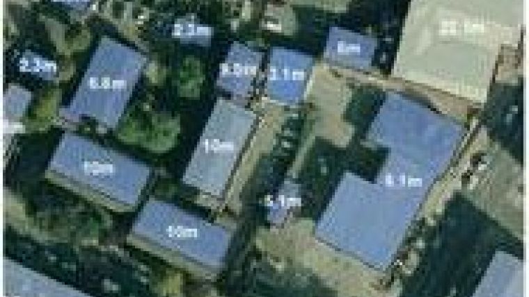
Bluesky, UK, has taken national mapping to the next level by adding height information to the digital maps of British national mapping agency Ordnance Survey. Using detailed 3D models, Bluesky has added height attributes to more than 35 million buildings.
The new Heighted Ordnance Survey MasterMap and Heighted Ordnance Survey VectorMap Local products are now available off the shelf for England and Wales. Scotland will be released in early 2013.
These products provide a solution for detailed, off-the-shelf building height information on a national or regional basis. Applications for the products include building volume analysis, planning, environment modelling, asset management, line of sight and risk assessment benefiting customers in markets such as local government, utilities, insurance, telecommunication, environment and the emergency services.

Value staying current with geomatics?
Stay on the map with our expertly curated newsletters.
We provide educational insights, industry updates, and inspiring stories to help you learn, grow, and reach your full potential in your field. Don't miss out - subscribe today and ensure you're always informed, educated, and inspired.
Choose your newsletter(s)


