IGARSS Wraps Up
The International Geoscience and Remote Sensing Symposium (IGARSS) conference has come to an end after a week of exchanging ideas, identifying research trends and discussing the latest developments in observation techniques in Munich, Germany. Jointly organised by the IEEE Geoscience and Remote Sensing Society, the DLR German Aerospace Center and ESA, IGARSS attracted more than 2,600 participants from 67 countries and featured over 2,500 scientific presentations.
Special sessions were held on a variety of topics, including remote sensing techniques, technologies and applications, as well as integrated Earth observation systems and modelling.
The legacy of ESA’s Envisat satellite came into focus, with special sessions devoted to the satellite’s numerous achievements. The mission ended in April after doubling its lifetime. The focus is now on the exploitation of its 10 years of data available for further scientific investigations.
The future of Earth observation was a hot topic, with half a day dedicated to the Sentinel missions being developed for Europe’s Global Monitoring for Environment and Security (GMES) programme.
DLR used the symposium to highlight the TanDEM-X radar mission, which is being used to create a 3D representation of Earth in a higher quality and resolution than previously possible.
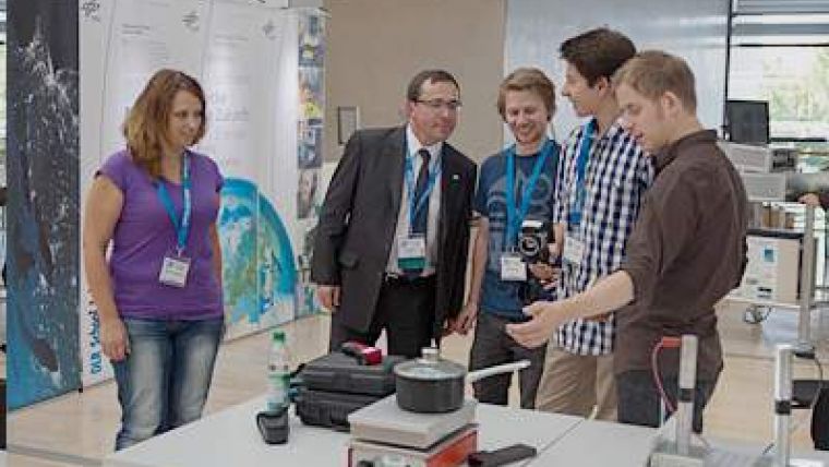
The training of the next generation of Earth observation scientists was also emphasised. Attendees were able to witness remote sensing classes for secondary schools in action, including experiments at the DLR School_Lab or data exploitation tutorials with ESA’s education tools.
For 2013, IGARSS will be held in Melbourne, Australia.
The next major European event on remote sensing will be held in Edinburgh, Scotland at the September 2013 Living Planet Symposium, where ESA will present the latest results from its Earth observation missions.
Organised with the support of the UK Space Agency, the conference will provide an opportunity to introduce future ESA missions, such as the Sentinels, Earth Explorers and meteorological missions, as well as a number of national missions.

Value staying current with geomatics?
Stay on the map with our expertly curated newsletters.
We provide educational insights, industry updates, and inspiring stories to help you learn, grow, and reach your full potential in your field. Don't miss out - subscribe today and ensure you're always informed, educated, and inspired.
Choose your newsletter(s)


