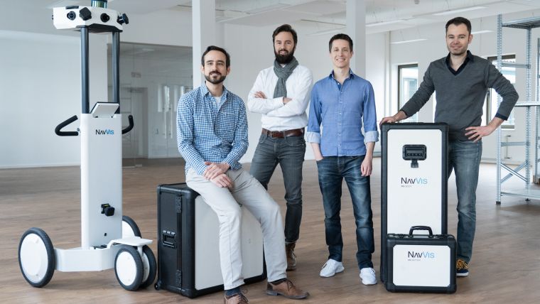
NavVis Secures Million-dollar Funding for Indoor Mapping
NavVis, a leading global provider of indoor spatial intelligence solutions, has announced that it has closed a new funding round, raising a total of US$35.5 million. The Series C funding round was led by Digital+ Partners, with additional participation from new investor Kozo Keikaku Engineering (KKE) and existing investors MIG, Target Partners and BayBG. The new funds will be used to accelerate NavVis’ growth in the global enterprise market, where demand for indoor spatial intelligence solutions is being driven by the rapid adoption of digital twin technology.
Digital twin technology is being used by an increasing number of enterprises to monitor and control assets and processes using a virtual representation of physical spaces. Gartner predicts that by 2021, half of large industrial companies will use digital twins, resulting in those organisations gaining a significant 10% improvement in effectiveness. This rapid pace of adoption in the very near term has the digital twin market projected to be worth U$15.66 billion by 2023.
3D scanning and visualisation software
There are currently two critical challenges experienced by enterprises seeking to implement digital twin technology. The first is scanning large industrial facilities to capture vast amounts of real-world information. The second is then taking that data and making it accessible and useful to the entire workforce. NavVis is in a good position to overcome these barriers with its 3D scanning hardware, NavVis M6, and 3D visualisation software, NavVis IndoorViewer, which is an innovative technology for implementing and operating digital twins. A main advantage of the NavVis digital twin platform is that it combines easy access, immersive 3D visualisation and interactive features. This virtual workspace is designed to fuel team collaboration and deliver actionable insights that drive strategic decision-making as well as day-to-day-operations.
German automotive industry
“The major German automotive manufacturers, who served as early adopters, paved the way for our digital twin technology to transform how enterprises will operate in the future. As a result, we are now experiencing a tremendous surge in demand for our well-established and trail tested platform”, said Felix Reinshagen, NavVis co-founder and CEO. “Our mission is now to empower every enterprise with the easiest and most powerful way to build and operate their own digital twin to the fullest potential.”
Ambitious growth plans
Since launch in 2013, NavVis has experienced rapid growth and in the last 18 months has become enterprise ready and grown adoption by 150 percent, with a client roster including names like Daimler, Lenovo and Deutsche Telekom. Moreover, the company has grown an already strong network to over 100 certified partners in more than 30 countries worldwide, with over 150 million square metres scanned and visualised using NavVis technology. The indoor mapping specialist doubled its number of employees and opened a local office in Shanghai, China.
The new funds will be used to accelerate international growth and product development efforts. The aim is to grow the NavVis platform into the bedrock of a digital twin ecosystem that powers third party applications including IoT, AR and VR. This will be enabled by the NavVis developer API and mobile SDK, which have already been used to develop deep integrations by enterprise tech powerhouses such as SAP and Autodesk.
Indoor mapping for many applications
Indoor mapping is often associated with the rise in location-based services, but over the past few years there has been a growing demand for indoor mapping for a much wider range of use cases. In fact, it is fair to say that the evolution of indoor mapping has only just got started. Read on to find out why in the article NavVis co-founder and CEO Felix Reinshagen recently contributed to GIM International.


Value staying current with geomatics?
Stay on the map with our expertly curated newsletters.
We provide educational insights, industry updates, and inspiring stories to help you learn, grow, and reach your full potential in your field. Don't miss out - subscribe today and ensure you're always informed, educated, and inspired.
Choose your newsletter(s)


