Inertial Navigation for Mobile Mapping
IXSEA announced a series of deliveries of LANDINS, the high-end INS positioning system specifically designed for mobile mapping and route mapping applications in dense urban areas, where GPS quality is often poor and the need for geo-referenced information is most critical.
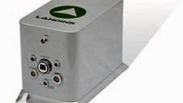
LANDINS combines a high-grade Inertial Navigation System, highly accurate position, precise timing and a very fast output rate in one box and provides data for real-time mobile scanning engineering survey. M3DM, based in the Netherlands has ordered LANDINS INS. M3DM's road survey system provides absolute accuracy close to conventional static road measurements. LANDINS compensates the vehicle motion and provides absolute position and height of the scanner in real-time.
StratAG research group based at National University of Ireland, Maynooth (NUIM) (Ireland), is constructing a mobile mapping system based around the latest GPS/IMU, Riegl VQ-250 LiDAR sensors and eight multispectral cameras.
LANDINS is now used in GeoVISAT's VISAT system, a technology for creating and updating 3-D GIS databases. GeoVISAT - a separate business unit within Vansteelandt bvba, has entered into a strategic partnership with AMS and holds the exclusive rights to deploy the VISAT technology throughout Europe.
SITECO INFORMATICA, the leading Italian company for mobile mapping and surveying along with asset management applied to road networks, purchased a LANDINS system for its excellent positioning capabilities after a successful test campaign.

Value staying current with geomatics?
Stay on the map with our expertly curated newsletters.
We provide educational insights, industry updates, and inspiring stories to help you learn, grow, and reach your full potential in your field. Don't miss out - subscribe today and ensure you're always informed, educated, and inspired.
Choose your newsletter(s)


