Innovative Layer Added to OS MasterMap
Ordnance Survey’s flagship, the renowned dataset OS MasterMap, has received an upgrade with the launch of a new layer, the OS MasterMap Sites Layer. The new product will work alongside the existing layers providing users with an intelligent dataset to underpin decision-making and data analytics.
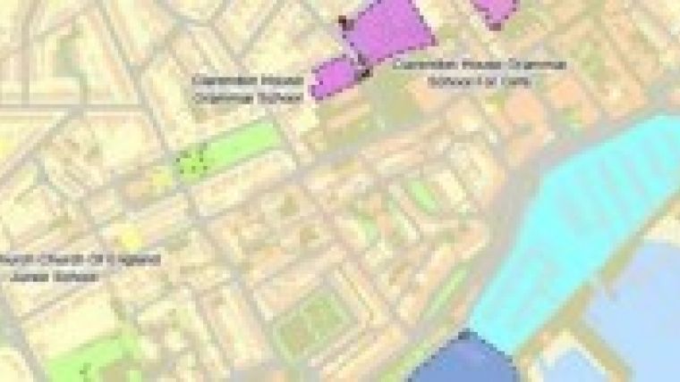
OS MasterMap Sites Layer is a UK-maintained dataset that maps the detailed extent of important locations such as airports, schools, hospitals, ports, utility and infrastructure sites and more. The points of access into these sites from the nearest road network are also provided.
Each site is representation of what people see in the real world, where the common view of something is not the address, the main building or the surrounding land, but is a combination of the overall extent of a site or asset. For example, the extent of a school is most commonly made up of buildings, playing fields and associated car parks. The new OS MasterMap Sites Layer provides customers with an easy way to identify an extent that includes all the real-world features that form part of the function of that school. OS MasterMap Sites Layer has three feature types: Functional Sites, Access Points and Routing Points.
This initial release of OS MasterMap Sites Layer focuses on sites in the following themes: Air Transport (for example, airports, heliports and airfields), Education (for example, schools and university campuses), Medical Care (for example, medical care centres, hospices and hospitals), Rail Transport (for example, railway station, tram station, vehicular rail terminal), Road Transport (for example, coach station, bus station, road user services), Water Transport (for example, ports, vehicular and passenger ferry terminals), Utility and Industrial (for example, oil terminal, chemical works, oil and gas distribution or storage).
The provision of this additional ‘form and function’ information in OS MasterMap Sites Layer satisfy requirements gathered from users of geographic information across the public and private sector. The new layer will work with the existing OS MasterMap layers, enabling improved risk modelling, business analysis, data analytics and underpinning decision making. Early trials have provided very positive customer feedback across organisations from the insurance market who will use sites information to assist with flood risk analysis, central and local government for planning capability, the emergency services for contingency planning, energy and infrastructure for risk management of key assets and risk planning, and land and property for conveyancing purposes.
OS MasterMap Sites Layer has three feature types:
-
Functional Site; A spatial area object that describes the extent and function of a real world location.
-
Access Point; The spatial point feature which would normally lie on the boundary of the Functional Site extent where there is access into and/or out of the site.
-
Routing Point; the spatial point feature which would normally lie on an OS MasterMap Integrated Transport Network Layer (ITN RoadLink) and would be referenced by a particular Access Point.
Joseph Johnson, Product Manager at Ordnance Survey, said when customers look at a school in the real world, they see a site which consists of playing fields, car parks and buildings; not the polygons that represent these areas.
Customers want to be able to use the Ordnance Survey mapping to answer simple questions such as: How close is this school to something? What would be affected in the event of an emergency? Or how much of this hospital could potentially flood? OS MasterMap Sites Layer creates a way for customers to easily answer these questions using Ordnance Survey’s detailed data.
He added that it is important for customers to note that OS MasterMap Sites Layer depicts the physical extent of usage or function as can be readily identified on the ground, and not the definitive or legal extent.
The new layer will help customers start the journey to a more analytical use of OS MasterMap Topography Layer, while providing closer integration with the ITN and AddressBase. The OS MasterMap Sites Layer has been developed to meet customer requirements, as they have engaged with customers throughout the product development process. Ordnance Survey stated they are keen to continue to engage with their customers and partners regarding the types of sites that they would like to be included in subsequent releases of OS MasterMap Sites Layer.

Value staying current with geomatics?
Stay on the map with our expertly curated newsletters.
We provide educational insights, industry updates, and inspiring stories to help you learn, grow, and reach your full potential in your field. Don't miss out - subscribe today and ensure you're always informed, educated, and inspired.
Choose your newsletter(s)


