Intermap Wins Contracts for Colombia's National Mapping Initiative
Intermap Technologies has been awarded two more contracts with the Instituto Geofráfico Agustín Codazzi (IGAC) to provide digital terrain models (DTMs) to support the Colombian government's management of natural resources. Total contracts awarded under the Task Orders, which will be completed within the next 30 days, exceed US$660,000. Intermap Technologies is a global leader in geospatial content development and intelligence solutions.
Working in partnership with Grupo GeoSpatial S.A.S., Intermap is supporting Colombia's national mapping program and has now been awarded the second and third contracts for high-resolution NEXTMap digital terrain models. The project area covers 38 high-priority municipalities as well as the area of the Paramillo and Puinawai national natural parks. The second phase contract award is 2.7 times larger than the Phase 1 contract. The third phase contract was awarded at the same time as a result of Intermap's performance providing exquisite data with speed.
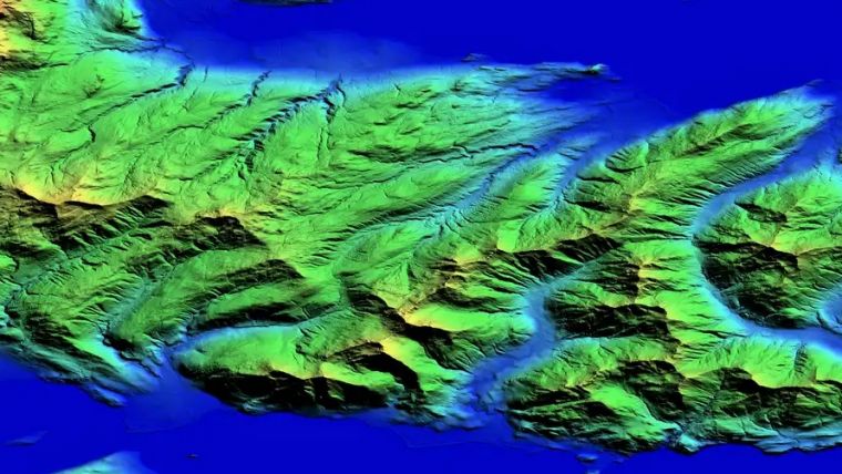
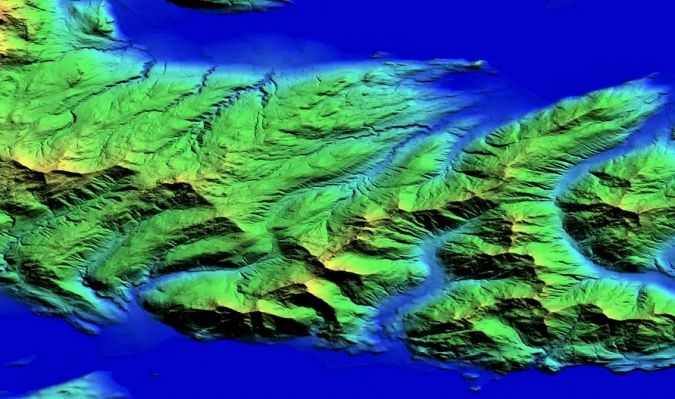
Mapping Mountainous Rainforest Terrain
IGAC will use the new high-resolution DTM to support the national government's management of natural resources, especially water and forestry. The contract area is composed of environmentally protected and environmentally strategic areas containing mountainous rainforest, which is challenging terrain to map accurately due to the difficulty of measuring the ground beneath trees and on steep slopes. In addition to elevation data, hydrology vectors will be delivered in the local geodetic reference frame and all data will meet the rigorous technical specifications issued in IGAC's Technical Resolutions.
Prior to these three phases of Colombia's National Mapping Initiative, it was challenging to collect and process digital terrain data over Colombia's diverse terrain. Elevation data was often collected from project to project, leaving gaps in coverage. Data was also collected with different sensors depending on the needs of projects, producing differences in precision, quality and data specifications. Intermap's elevation data collection and processing expertise provides the IGAC with high-resolution DTMs that are consistent in precision, quality and data specification across all municipalities and areas of interest.
Multipurpose Cadastre Programme
"Intermap's NEXTMap DTM data provides unique value to Colombia's national spatial data infrastructure, enabling the characterization of terrain, enhanced hydrological modeling and risk management," said William Aymard, GeoSpatial's vice president.
"The multipurpose cadastre programme is an opportunity to solve numerous problems related to land management, and a critical planning and information tool to promote the organization, productive use and the proper governance of the nation's territory," said Patrick A. Blott, Intermap's chairman and CEO. "We are proud to be a part of the solution and look forward to future opportunities in Colombia and around the world."

Value staying current with geomatics?
Stay on the map with our expertly curated newsletters.
We provide educational insights, industry updates, and inspiring stories to help you learn, grow, and reach your full potential in your field. Don't miss out - subscribe today and ensure you're always informed, educated, and inspired.
Choose your newsletter(s)


