Ireland Awards Aerial Mapping Contract to Getmapping
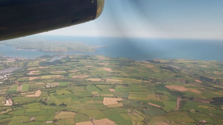
The Irish Department for Agriculture, Food and the Marine (DAFM) has awarded Getmapping a contract to supply new high-resolution aerial photography and digital height models for the Republic of Ireland.
The data will include 25cm-resolution aerial photography and a digital surface model (DSM). The three-year contract covers the whole of the Republic of Ireland, comprising around 84,000 square kilometres, including offshore islands. Getmapping’s high-resolution, orthorectified aerial photography will be fully compatible with DAFM’s existing map layers and is ready for use in desktop mapping and GIS software.
True digital replica of the Republic of Ireland
DAFM’s mission is to lead the sustainable development of a competitive, consumer-focused agrifood sector and to contribute to a vibrant rural economy and society. Applications of Getmapping’s survey as a service are expected to include rural farm payment schemes, forestry management and vegetation extent and health, plus other effects of human activity on the environment.
“We are delighted to have been awarded this contract with DAFM,” says Gavin Sullivan, deputy head of Getmapping Europe. “Our best-of-breed spatial imaging systems and georeferencing technologies will create a true digital replica of the republic. It is exciting to see how DAFM will use the data to identify and create solutions to the challenges facing their environment, and the contract strengthens our position as the leading geospatial solutions provider in North-West Europe.”

Value staying current with geomatics?
Stay on the map with our expertly curated newsletters.
We provide educational insights, industry updates, and inspiring stories to help you learn, grow, and reach your full potential in your field. Don't miss out - subscribe today and ensure you're always informed, educated, and inspired.
Choose your newsletter(s)


