iXBlue and Septentrio Develop Position and Orientation System
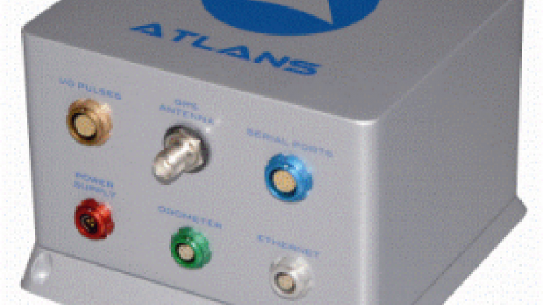
iXBlue, a leading provider of navigation, positioning and mapping solutions, has launched its new ATLANS-C position and orientation system, developed in close cooperation with Septentrio Satellite Navigation. The system is designed to provide continuous and accurate positioning in urban environments, where global navigation satellite system (GNSS) signals are obscured, intermittent or possibly distorted by reflective surfaces.
ATLANS-C benefits from the optimised integration of iXBlue’s leading fiber-optic gyroscope (FOG) based inertial navigation system (INS) and Septentrio’s renowned multi-constellation GNSS receiver technologies. Experts from iXBlue and Septentrio worked closely with the aim to develop an unrivaled smart coupling method that combines the advantages of the two companies’ leading technologies, resulting in a reliable INS-GNSS mobile mapping solution.
One of ATLANS-C’s main advantages is its versatility, allowing the same equipment to be used for land and air applications. Configuration of the system is achieved through the use of iXBlue’s web interface, utilised across the complete range of products.

Value staying current with geomatics?
Stay on the map with our expertly curated newsletters.
We provide educational insights, industry updates, and inspiring stories to help you learn, grow, and reach your full potential in your field. Don't miss out - subscribe today and ensure you're always informed, educated, and inspired.
Choose your newsletter(s)


