KaarbonTech UK Pioneers in Unmanned Aerial Surveying
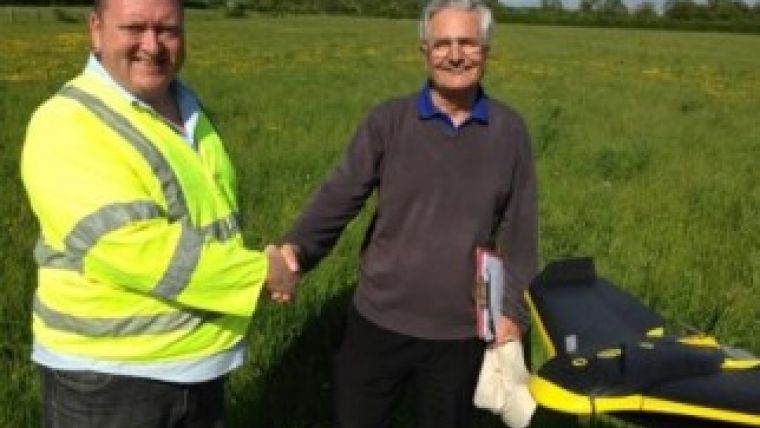
Unmanned aerial surveying is developing at a fast pace. The latest progress sees the eBee UAV land on British shores being operated by KaarbonTech, an aerial surveying company. In June 2013, it announced it would be the first company to obtain approval from the Civil Aviation Authority to fly this commercially.
The eBee, from senseFly, a Swiss company specialised in developing autonomous drones and image processing software, has a 16MP camera allowing it to shoot aerial imagery at down to 3cm/pixel resolution. The images can then be used to create maps and elevation models with a precision of 5cm.
Its aerodynamic profile allows cruising speeds of 36-57km/h. The eBee can resist winds of up to 45km/h increasing the survey success rate in British weather.
Mark Entwistle from KaarbonTech commented his company is proud to be the first to operate with the eBee in the UK. The company understands the importance of accurate information, as a lot of its clients prefer a complete analysis of the data to be conducted in-house rather than receiving raw data. This can include volumetric calculations, topographical drawings and data validation, so accuracy is key, he explained.
KaarbonTech already provide aerial surveying across the UK using the ‘Swinglet’ UAS, another senseFly plane. It also processes all data in-house to produce topographical maps, digital elevation models, volumetric measurements and orthomosaics for the complete service.

Value staying current with geomatics?
Stay on the map with our expertly curated newsletters.
We provide educational insights, industry updates, and inspiring stories to help you learn, grow, and reach your full potential in your field. Don't miss out - subscribe today and ensure you're always informed, educated, and inspired.
Choose your newsletter(s)


